Skip to content
recaplica

    One moment: security check

    Cloudflare wants to make sure you're not a robot. Tick the box below and your search will continue on its own.

    IT
    recaplica What Is a Hurricane? How It Forms and How It Differs from a Cyclone or Typhoon
    © 2026 Recaplica · recaplica.com — All rights reserved
    Home › Science

    What Is a Hurricane? How It Forms and How It Differs from a Cyclone or Typhoon

    By Recaplica Newsroom · Updated on October 21, 2026

    What to print

    Page numbers appear when printing with default margins.

    Slides

    Choose a cut

    Flash10 slidesThe essential thread, to present in classFull16 slidesEvery chapter and the deeper detail

    Both come with speaker notes.

    Telegram channel
    recaplica Clear in 30 seconds, yours in 10 minutes.
    In 30 seconds Key points Figures Deep dive Slides Myths Mind map Quiz Flashcards FAQ

    In 30 seconds quick read

    A hurricane is a tropical cyclone: an area of low pressure with air circling it in a closed loop, counterclockwise in the Northern Hemisphere and clockwise in the Southern. Tropical cyclones form over seas of at least 80 °F (27 °C) and get their energy from the heat water vapor releases as it condenses into cloud. Once sustained winds reach 74 mph (119 km/h), the storm takes the name used in its region, hurricane in the North Atlantic and typhoon in the northwest Pacific. Below that threshold it is a tropical depression or a tropical storm, and above it the Saffir-Simpson scale rates its strength from 1 to 5. In the mid-latitudes the weather from autumn to spring comes from extratropical cyclones, which over the Mediterranean sometimes pick up tropical traits and become medicanes.

    Key Points

    • A cyclone is a low-pressure area with a closed circulation of air; in an anticyclone the pattern reverses and pressure rises toward the center.
    • According to NOAA, a tropical cyclone needs sea water of at least 80 °F (27 °C), moist air at mid-levels, little change in wind between the surface and the upper troposphere, and a position at least 300 miles from the equator.
    • Tropical cyclone, hurricane and typhoon all name the same phenomenon; from 74 mph of sustained wind the label depends on the ocean basin.
    • The Saffir-Simpson scale sorts hurricanes into five categories by maximum sustained wind alone and leaves out storm surge, flooding and tornadoes.
    • Extratropical cyclones feed on the contrast between warm and cold air and organize along fronts.
    • A medicane is a hybrid Mediterranean storm, partly tropical and partly mid-latitude, and smaller than a hurricane.

    Key figures

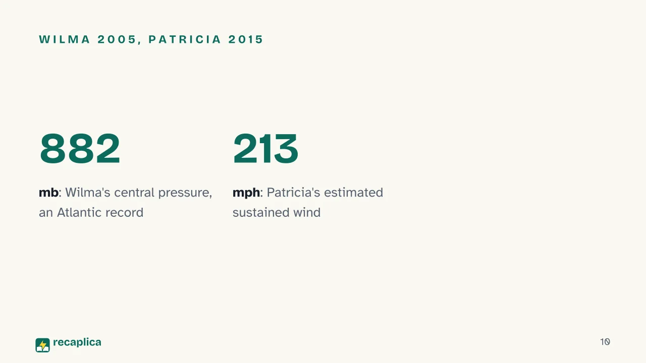
    • 882 mb the central pressure of Wilma in 2005, the most intense hurricane on record in the Atlantic basin Source: NOAA National Weather Service, JetStream
    • 213 mph the estimated sustained wind of Hurricane Patricia in 2015, the strongest in the Western Hemisphere Source: NOAA National Weather Service, JetStream
    • 41 deaths the National Hurricane Center attributes to the storm surge of Hurricane Ian in 2022 Source: NOAA National Hurricane Center

    Deep Dive

    What is a hurricane?

    A hurricane is a tropical cyclone with sustained winds of at least 74 mph (119 km/h), the name used for these storms in the North Atlantic and the northeast Pacific. The National Hurricane Center (NHC) glossary defines a cyclone as a closed circulation of air that turns counterclockwise in the Northern Hemisphere and clockwise in the Southern. The Treccani encyclopedia ties it to an area of low pressure: on a weather forecasting chart it sits inside closed isobars, with values dropping toward the center.

    Wind comes from that pressure difference, which pushes air from high toward low. Earth’s rotation deflects the moving air, to the right in the Northern Hemisphere and to the left in the Southern, so it stops heading straight for the center and starts circling it. The deflection carries the name of Coriolis, the French scientist who described it mathematically in 1835.

    An anticyclone is the reverse pattern: pressure rises toward the center, and in the Northern Hemisphere the wind turns clockwise around it. The sky changes too. In a low, converging air is forced upward and cools, which is why the weather near cyclones is often poor; under an anticyclone the air sinks, warms and usually brings fair weather.

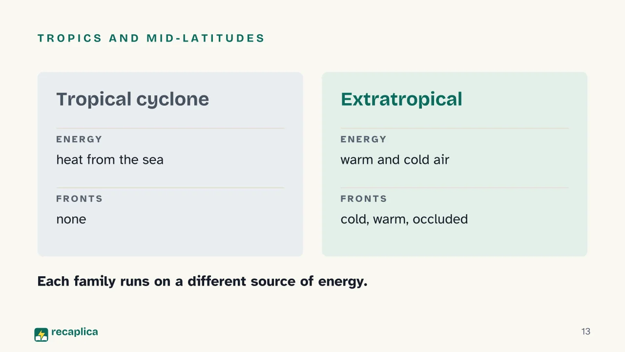
    Cyclones come in two families, tropical and extratropical. The NHC tells them apart by their energy source.

    How a hurricane forms

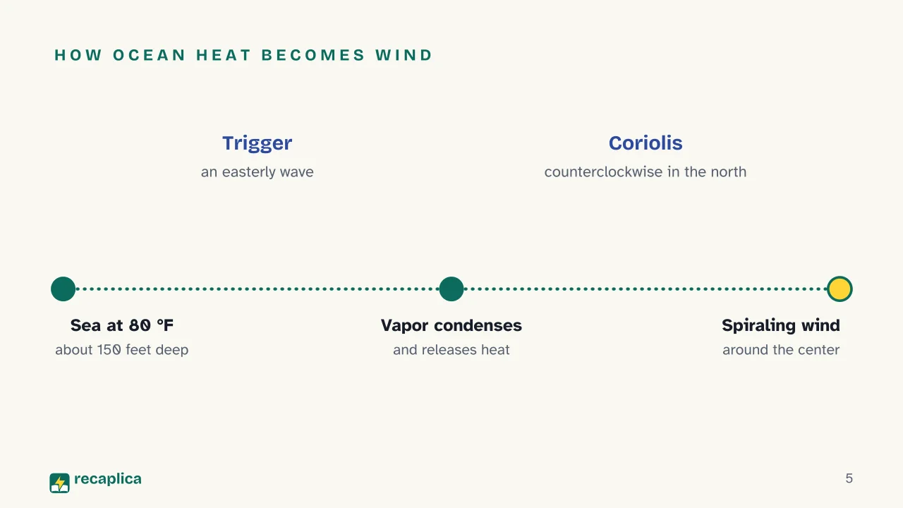
    NOAA, the US agency for the oceans and atmosphere, lists the starting conditions. The sea is at least 80 °F (27 °C) through a layer about 150 feet (46 m) deep. Air cools fast enough with height to be unstable, and it is still fairly moist at around 4,900 meters. Between the surface and the upper troposphere the wind changes little: the difference, called vertical wind shear, stays below roughly 23 mph. The birthplace also generally lies at least 300 miles (480 km) from the equator. Warm water needs a disturbance to start from, and most of the time that is a tropical easterly wave.

    NOAA calls warm water the engine of the system. Vapor rising from the sea cools and condenses into cloud, the same step found in the water cycle, and condensing releases heat. The warmed air rises, more air flows in at the surface to take its place, and that inflow is the storm’s strong wind. The NHC describes the overall exchange: the cyclone takes heat from the warm ocean and gives it up high, in the cold upper troposphere. Air spirals in toward the center and leaves from the top turning the opposite way, and once aloft that heat is carried toward the poles by the winds. According to NOAA, proposals to weaken a hurricane with chemicals, or even nuclear weapons, badly underestimate the energy involved.

    Close to the equator the Coriolis force is too weak to set the system spinning, and with very rare exceptions no tropical cyclones form within 5 degrees of latitude. Typhoon Vamei, which formed near Singapore on December 27, 2001, is one of those exceptions.

    According to Treccani, a tropical cyclone drifts toward the mid-latitudes once formed, on a roughly parabolic track at an average speed of 10 to 40 km/h. The World Meteorological Organization (WMO) says it can die out within a day or stay active for up to a month. When its center moves over land it weakens fast, and NOAA puts this down to the loss of ocean moisture and heat; friction with the ground is not the cause.

    Practical example: in the North Atlantic the official hurricane season runs from June 1 to November 30, peaking between early and mid-September, while in the eastern Pacific it opens earlier, on May 15. In 2005 the Atlantic had 27 named storms, and 15 of them became hurricanes.

    Hurricane, typhoon, cyclone or tropical storm: what’s the difference?

    The WMO treats hurricane and typhoon as regional names for the tropical cyclone. NOAA counts seven basins worldwide where they are likely to form, and the US National Weather Service lists these names, among others, once sustained winds pass 74 mph (119 km/h):

    BasinName of a tropical cyclone above 74 mph
    North Atlantichurricane
    Northeast Pacific, east of the International Date Linehurricane
    South Pacific, east of 160°Ehurricane
    Northwest Pacifictyphoon (super typhoon from 150 mph)
    Southwest Pacific west of 160°E, southeast Indian Ocean east of 90°Esevere tropical cyclone

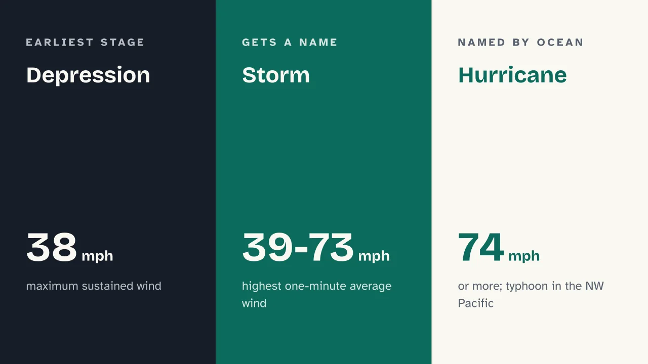
    Below that threshold the name depends on wind speed, measured as maximum sustained wind. For the NHC this is the highest one-minute average, taken 10 meters above the ground at an unobstructed site.

    StageMaximum sustained wind (NHC)
    Tropical depression38 mph or less (62 km/h, 33 knots)
    Tropical storm39-73 mph (63-118 km/h, 34-63 knots)
    Hurricane or typhoon74 mph or more (119 km/h, 64 knots)

    A tropical storm, then, is a defined stage in the life of a tropical cyclone: at 39 mph the system moves up a class and usually gets a name of its own. Large mid-latitude weather systems are called storms too. The WMO used “Storm Daniel” for the system that hit Greece and Libya in September 2023, which changed character along the way.

    The word hurricane comes from the Caribbean. Spanish adapted it from Hurican, the storm god of the Taíno, the Indigenous people of those islands.

    How a hurricane works: eye, eyewall and rainbands

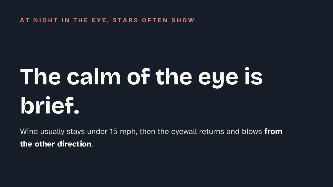
    A mature tropical cyclone has three main parts. At the center is the eye, a roughly circular area usually 20 to 40 miles (32-64 km) across, where winds generally stay under 15 mph. It tends to appear once sustained winds pass 74 mph, and NOAA admits that why it forms is still not fully understood. Inside it the air sinks and keeps clouds from forming.

    Around the eye runs the eyewall, an organized ring of cumulonimbus, the clouds that build thunderstorms. It brings heavy rain and usually the most violent winds, concentrated on its inner edge. Farther out spread the rainbands, curved belts of cloud spiraling away from the center that can bring downpours, gusts and even tornadoes. Because the strongest winds sit a little away from the exact center, a coast can feel them even if the eye never makes landfall.

    A hurricane is typically about 300 miles (483 km) wide, though sizes vary a great deal, and NOAA warns that size is no guide to strength. The largest on record is Typhoon Tip in 1979, with gale-force winds reaching 675 miles (1,087 km) from its center.

    Practical example: someone in the eye at night often sees stars overhead and may think the storm has passed. It is only halfway through: soon the far side of the eyewall arrives, and the wind starts up again from the opposite direction.

    Measuring strength: the Saffir-Simpson scale

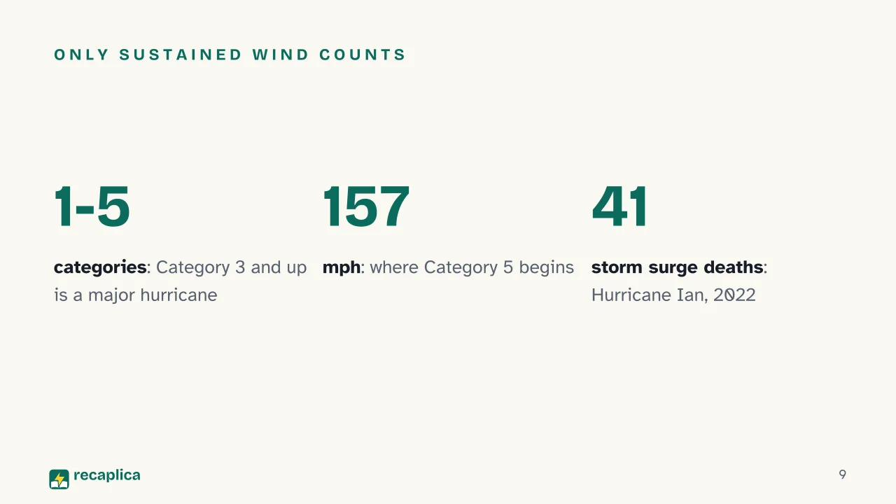
    The Saffir-Simpson scale, used by the NHC, rates hurricanes from 1 to 5 on maximum sustained wind alone.

    CategorySustained windkm/hKnots
    174-95 mph119-15364-82
    296-110 mph154-17783-95
    3111-129 mph178-20896-112
    4130-156 mph209-251113-136
    5157 mph or more252 or more137 or more

    From Category 3 up a storm counts as a major hurricane, and for Categories 4 and 5 the NHC expects much of the affected area to be uninhabitable for weeks or months. A storm can also strengthen fast: rapid intensification means the maximum wind rises by at least 30 knots in 24 hours.

    Wind is only one of the hazards. The scale leaves out storm surge, rainfall flooding and tornadoes, which can kill even in a low-category hurricane, and the WMO adds lightning to the list. Storm surge is an abnormal rise of the sea, driven ashore mainly by strong winds, and it can push up rivers and canals and reach far inland. When it coincides with high tide the water can in some cases rise 20 feet or more, and with other conditions equal a larger storm drives it higher. For Hurricane Ian in 2022, the NHC attributes 41 deaths to surge.

    Among the records, NOAA lists Wilma (2005) as the Atlantic basin’s most intense hurricane, with a central pressure of 882 millibars, and Patricia (2015) as the strongest in the Western Hemisphere, with estimated sustained winds of 213 mph.

    Mid-latitude cyclones and medicanes

    In NOAA’s account, extratropical cyclones, the ones that form in the mid-latitudes, shape the weather across much of the world from autumn to spring. The NHC defines them as cyclones of any intensity that run mainly on the temperature gap between warm and cold air masses. Treccani places their birth outside the tropics, usually over the oceans and mostly in winter, and links them to polar air reaching the temperate zones, while noting that scientists do not fully agree on the causes.

    Norwegian meteorologists were the first to describe their life cycle, in the 1910s and 1920s. At the start, a front divides two air masses, the warmer one lying to the south and the colder one to the north. As the air masses move, the front splits into a cold front and a warm front; the faster cold front catches up with the warm one and forms an occluded front. Once the warm air is cut off from the center, the low slowly winds down.

    One family can turn into the other. A tropical cyclone moving poleward can become extratropical, switching energy source while keeping hurricane-force winds, and even after losing its tropical features it can still bring heavy rain and strong winds.

    Over the Mediterranean something close to the reverse happens. A 2023 study in Scientific Reports explains that this sea cannot produce true tropical cyclones, but some mid-latitude cyclones crossing it occasionally turn into similar systems, called medicanes or Mediterranean hurricanes. They are smaller and symmetrical, with cloud bands wrapped around a warm, calm low-pressure core that is ringed by strong winds. The WMO describes them as hybrids, historically most frequent between September and January, so across the whole of autumn, and notes that a sea warmer than 26 °C can strengthen them after they form.

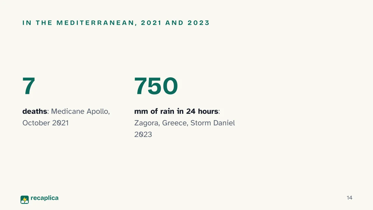
    Italy has been hit as well. In October 2021 Medicane Apollo crossed the Strait of Sicily and the central-western Ionian Sea, with intense rain, extensive coastal flooding, seven deaths and severe damage in Sicily and Calabria; the same study also lists Qendresa (2014), Zorbas (2018) and Ianos (2020). In September 2023 Storm Daniel, which formed over Greece and was named by the Greek weather service, took on medicane features as it headed for Libya, over a sea that topped 27.5 °C near the coast. On September 5 and 6 a station in Zagora, Greece, recorded 750 mm of rain in 24 hours. In Derna the failure of two dams flooded the city. The WMO reported that thousands of deaths were feared and that the Libyan Red Crescent put the number of missing at up to 10,000, figures that had not been confirmed when the report came out.

    As the Italian research institute CNR-ISAC pointed out in February 2026, scientists had used the term medicane inconsistently. A shared definition, coordinated by the institute, has since appeared in the Bulletin of the American Meteorological Society and entered the society’s glossary.

    Why hurricanes get names

    For the WMO, a name is the fastest way to spread warnings, and it avoids confusion among forecasters, the media, emergency services and the public. Before names, storms were identified by latitude and longitude. Female names came into use in the mid-twentieth century, and since 1979 they have alternated with male ones.

    Five WMO regional bodies draw up the lists in advance, on proposals from national weather services, and no storm is named after a real person. In the Atlantic, where names have come from lists started at the NHC since 1953, six lists rotate and each one returns after six years: the 2026 list will be used again in 2032. If a storm was so deadly or costly that reusing its name would be inappropriate, the WMO committee retires it and chooses a replacement. When a season runs past 21 named storms, the next ones take names from a supplemental list.

    Slide deck

    Slides ready to download and make your own in PowerPoint or Google Slides, with speaker notes. Pick the Flash cut or the Full one.
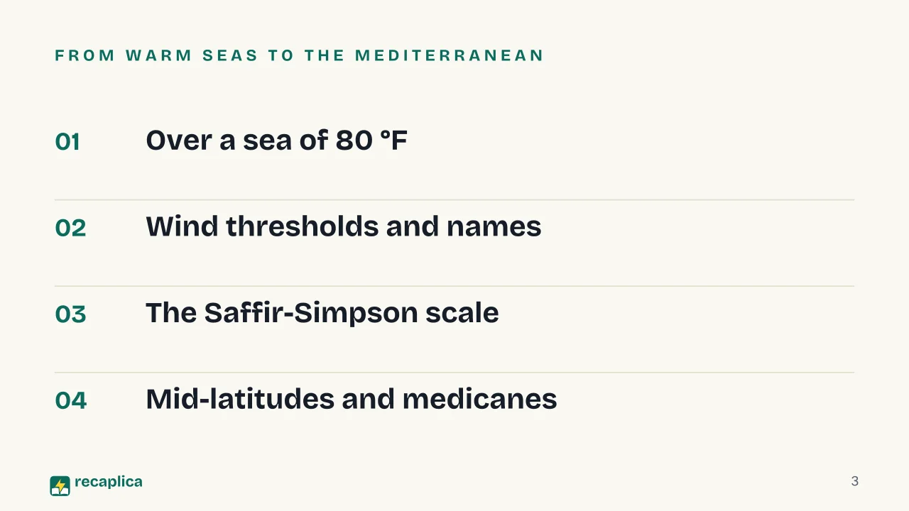
    Slide 1 of the presentation on What Is a Hurricane? How It Forms and How It Differs from a Cyclone or Typhoon: The hurricaneSlide 2 of the presentation on What Is a Hurricane? How It Forms and How It Differs from a Cyclone or Typhoon: Hurricane or typhoon: what actually sets them apart?Slide 3 of the presentation on What Is a Hurricane? How It Forms and How It Differs from a Cyclone or Typhoon: From warm seas to the MediterraneanSlide 4 of the presentation on What Is a Hurricane? How It Forms and How It Differs from a Cyclone or Typhoon: Chapter 01: Over a sea of 80 °FSlide 5 of the presentation on What Is a Hurricane? How It Forms and How It Differs from a Cyclone or Typhoon: How ocean heat becomes windSlide 6 of the presentation on What Is a Hurricane? How It Forms and How It Differs from a Cyclone or Typhoon: Chapter 02: Wind thresholds and namesSlide 7 of the presentation on What Is a Hurricane? How It Forms and How It Differs from a Cyclone or Typhoon: Depression · Storm · HurricaneSlide 8 of the presentation on What Is a Hurricane? How It Forms and How It Differs from a Cyclone or Typhoon: Chapter 03: The Saffir-Simpson scaleSlide 9 of the presentation on What Is a Hurricane? How It Forms and How It Differs from a Cyclone or Typhoon: Only sustained wind countsSlide 10 of the presentation on What Is a Hurricane? How It Forms and How It Differs from a Cyclone or Typhoon: Wilma 2005, Patricia 2015Slide 11 of the presentation on What Is a Hurricane? How It Forms and How It Differs from a Cyclone or Typhoon: The calm of the eye is brief.Slide 12 of the presentation on What Is a Hurricane? How It Forms and How It Differs from a Cyclone or Typhoon: Chapter 04: Mid-latitudes and medicanesSlide 13 of the presentation on What Is a Hurricane? How It Forms and How It Differs from a Cyclone or Typhoon: Tropics and mid-latitudesSlide 14 of the presentation on What Is a Hurricane? How It Forms and How It Differs from a Cyclone or Typhoon: In the Mediterranean, 2021 and 2023Slide 15 of the presentation on What Is a Hurricane? How It Forms and How It Differs from a Cyclone or Typhoon: Why does a tropical cyclone weaken quickly over land?Slide 16 of the presentation on What Is a Hurricane? How It Forms and How It Differs from a Cyclone or Typhoon: Quiz, map and flashcards online
    Flash10 slidesThe essential thread, to present in classFull16 slidesEvery chapter and the deeper detail

    Common myths

    • ✗ Myth Cyclones, hurricanes and typhoons are three different storms, and typhoons are the most violent.

      ✓ Reality All three are names for one phenomenon, the tropical cyclone. The US National Weather Service explains that once sustained winds pass 74 mph, the system takes the name used in its basin: hurricane in the North Atlantic and northeast Pacific, typhoon in the northwest Pacific, severe tropical cyclone in parts of the southwest Pacific and the Indian Ocean. How strong a storm is depends on its wind speed, whatever it happens to be called.

    • ✗ Myth Once the eye arrives, the worst is over.

      ✓ Reality The eye is the calmest part, with winds usually below 15 mph, but anyone inside it still has the second half of the storm ahead. The eyewall, where the most violent winds usually blow, comes back soon after, and this time the wind pushes from the other side.

    • ✗ Myth True tropical hurricanes form in the Mediterranean.

      ✓ Reality A 2023 study in Scientific Reports says the Mediterranean lacks the conditions for a true tropical cyclone. What can happen is that a mid-latitude cyclone crossing the sea turns into a similar system: the medicane, smaller than a hurricane and described by the World Meteorological Organization as a hybrid.

    Mind map

    Drag the background to move around and the nodes to reposition them; use − and + to collapse and expand branches.
    Customize
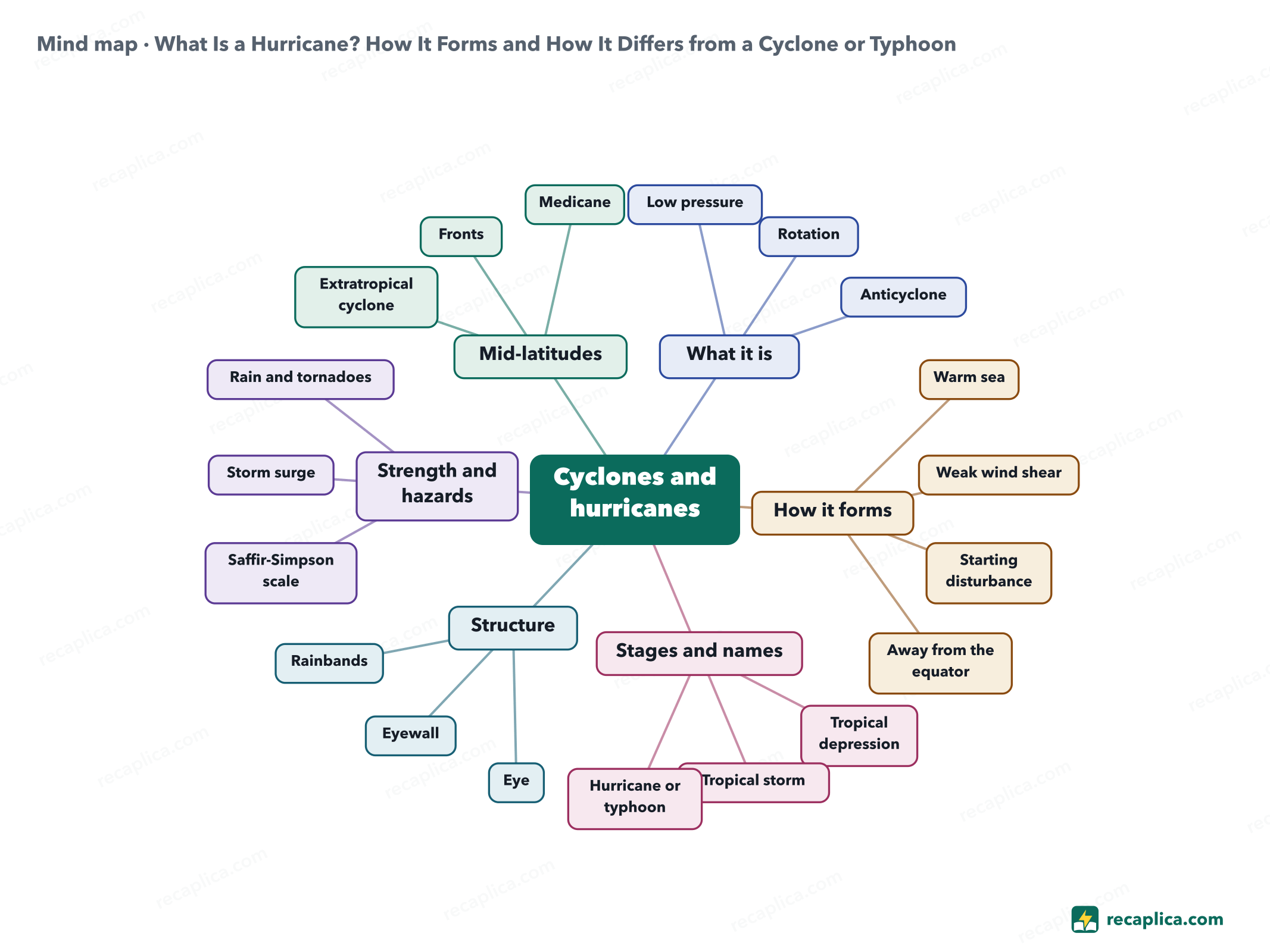
    Mind map: What Is a Hurricane? How It Forms and How It Differs from a Cyclone or Typhoon
    • Cyclones and hurricanes
      • What it is
        • Low pressure closed isobars, values falling toward the center
        • Rotation counterclockwise in the north, clockwise in the south
        • Anticyclone high pressure, sinking air, often fair weather
      • How it forms
        • Warm sea at least 80 °F through about 150 feet of water
        • Weak wind shear under about 23 mph between surface and upper levels
        • Starting disturbance usually a tropical easterly wave
        • Away from the equator at least 300 miles, the Coriolis force is needed
      • Stages and names
        • Tropical depression sustained wind up to 38 mph
        • Tropical storm 39 to 73 mph, usually gets a name
        • Hurricane or typhoon 74 mph and up, the name depends on the basin
      • Structure
        • Eye 20-40 miles across, wind usually under 15 mph
        • Eyewall ring of cumulonimbus, strongest winds
        • Rainbands downpours, gusts, sometimes tornadoes
      • Strength and hazards
        • Saffir-Simpson scale Categories 1 to 5, wind only
        • Storm surge 41 deaths in Hurricane Ian, 2022, per the NHC
        • Rain and tornadoes outside the scale, can be deadly
      • Mid-latitudes
        • Extratropical cyclone energy from the contrast of warm and cold air
        • Fronts cold, warm and finally occluded
        • Medicane Mediterranean hybrid, most frequent September to January

    Quiz: test yourself

    Answer the questions to check what you have learned: you get instant feedback and a short explanation.

    Grade 0/10 0/5
    1 Which way does air circle a cyclone in the Northern Hemisphere?

    North of the equator, Earth's rotation deflects moving air to the right, so wind heading for the low ends up circling it counterclockwise. The direction flips in the Southern Hemisphere, and around a northern anticyclone the air turns clockwise.

    2 According to NOAA, what sea temperature does a tropical cyclone need to form?

    NOAA gives at least 80 °F (27 °C) through a layer about 150 feet deep. That heads a list of conditions that also includes moist air at mid-levels, weak wind shear and a disturbance to start from.

    3 What is the difference between a hurricane and a typhoon?

    The World Meteorological Organization uses both words for the same kind of storm and picks one by region. According to the US National Weather Service, hurricane applies in the North Atlantic and the northeast Pacific, typhoon in the northwest Pacific.

    4 What does the Saffir-Simpson scale measure?

    The National Hurricane Center rates hurricanes from 1 to 5 on maximum sustained wind alone. Storm surge, flooding and tornadoes stay outside the rating, and even a Category 1 or 2 storm can bring them with deadly results.

    5 Why does a tropical cyclone weaken quickly over land?

    NOAA, which rules out friction, explains that over land the storm is cut off from the ocean heat and moisture that were feeding it.

    Answers: 1-B · 2-C · 3-C · 4-A · 5-B

    Flashcards

    Tap the card to flip it and check whether you remember the answer, then move to the next one.

    1 / 7

    Explain it in your own words

    The ultimate test: if you can explain it in simple words, you've truly understood it. Write your explanation, then compare it with the Recap.

    Your explanation is saved only on this device.

    A hurricane is a tropical cyclone: an area of low pressure with air circling it in a closed loop, counterclockwise in the Northern Hemisphere and clockwise in the Southern. Tropical cyclones form over seas of at least 80 °F (27 °C) and get their energy from the heat water vapor releases as it condenses into cloud. Once sustained winds reach 74 mph (119 km/h), the storm takes the name used in its region, hurricane in the North Atlantic and typhoon in the northwest Pacific. Below that threshold it is a tropical depression or a tropical storm, and above it the Saffir-Simpson scale rates its strength from 1 to 5. In the mid-latitudes the weather from autumn to spring comes from extratropical cyclones, which over the Mediterranean sometimes pick up tropical traits and become medicanes.

    Frequently asked questions

    What is the difference between a cyclone, a hurricane, a typhoon and a tropical storm?

    Cyclone is the general name for any low-pressure system with air circling its center. A tropical cyclone goes through stages: tropical depression up to 38 mph of sustained wind, tropical storm from 39 to 73 mph, and hurricane or typhoon from 74 mph. Hurricane and typhoon are the same phenomenon, called a hurricane in the North Atlantic and the northeast Pacific and a typhoon in the northwest Pacific.

    How does a hurricane form?

    A hurricane starts over a sea of at least 80 °F, away from the equator, where a disturbance already exists and the wind changes little with height. Rising vapor condenses into cloud and releases heat; the warmed air climbs, more air rushes in at the surface to replace it, and Earth's rotation sets that air spinning around the center. Mid-latitude cyclones get their energy elsewhere, from the contrast between warm and cold air.

    What is the difference between a cyclone and an anticyclone?

    In a cyclone, pressure drops toward the center and the air converges, rises and cools, so the weather is often poor. An anticyclone works the other way round: pressure climbs toward the center and the sinking air warms, which tends to bring fair weather. In the Northern Hemisphere the wind turns counterclockwise around a cyclone and clockwise around an anticyclone.

    Can hurricanes form in the Mediterranean?

    True tropical hurricanes cannot: a 2023 study in Scientific Reports says the Mediterranean lacks the conditions to produce them. A medicane can form, though, a hybrid cyclone with tropical features. One example is Apollo, which in October 2021 crossed the Strait of Sicily and the Ionian Sea, bringing intense rain, extensive coastal flooding, seven deaths and heavy damage in Sicily and Calabria.

    Sources

    • NOAA National Hurricane Center, NHC Glossary
    • NOAA National Hurricane Center, Saffir-Simpson Hurricane Wind Scale
    • NOAA National Hurricane Center, Tropical Cyclone Names
    • NOAA National Hurricane Center, Storm Surge Overview
    • NOAA National Weather Service JetStream, Tropical Cyclone Introduction
    • NOAA National Weather Service JetStream, Tropical Cyclone Classification
    • NOAA National Weather Service JetStream, Tropical Cyclone Structure
    • NOAA National Weather Service JetStream, Origin of Wind
    • NOAA National Weather Service JetStream, Norwegian Cyclone Model
    • World Meteorological Organization (WMO), Tropical cyclone
    • World Meteorological Organization (WMO), Tropical cyclone naming
    • World Meteorological Organization (WMO), Storm Daniel leads to extreme rain and floods in Mediterranean, heavy loss of life in Libya (2023)
    • Treccani encyclopedia (Italian), entry «ciclone»
    • CNR-ISAC, The definition of medicane published in the American Meteorological Society glossary (2026)
    • Menna et al., A case study of impacts of an extreme weather system on the Mediterranean Sea circulation features, Medicane Apollo (2021), Scientific Reports, 2023

    Every Recap goes through an independent review before publication.

    Every evening, the day's new Recaps on our Telegram channel. Join the channel →

    Keep learning

    • Science What Is a Flood? Causes, Types and Flash Floods A flood is water covering, for a while, land that is normally dry. Heavy or prolonged rain usually sets it off by swelling rivers, streams, canals and sewers. When a swollen river spills over its banks or breaks through them, the land around it goes under water. Many Italian river basins are small and react to rain within hours, so Italy also gets flash floods, after intense, localised rain that is hard to forecast. Read the Recap →
    • Science What Is Frost and How Does It Form? Frost is the layer of ice crystals that appears on grass, cars and roofs on cold mornings. It forms through deposition, when water vapor in the air turns directly into ice without passing through a liquid stage first. This requires the surface itself to drop below 0°C, a condition that develops most easily on clear nights with light wind and no fog. Some surfaces frost earlier than others because they lose heat at different rates: grass faster than asphalt, glass and metal faster than most other materials. Frost should not be confused with rime, which forms when supercooled fog droplets freeze on contact with a surface exposed to wind. Read the Recap →
    • Science Energy Sustainability: What It Means and How to Achieve It Energy sustainability is the condition in which energy stays available, stays affordable and leaves a limited environmental footprint. The IEA, the international agency that studies energy systems, puts those three conditions in its stated mission, and the work runs along two lines, the sources energy is drawn from and the amount a given service requires. On the first, the IEA expects renewable capacity worldwide to grow by 4,600 GW between 2025 and 2030, with solar covering almost 80% of that. On the second, global energy efficiency should improve by 1.8% in 2025, while in the European Union Eurostat measured a renewable share of 26.2%, against a target of 42.5% by 2030. Read the Recap →

    recaplica

    Clear in 30 seconds, yours in 10 minutes.

    Recaps Mind maps Request a Recap Telegram channel Mind map maker Our method About Privacy & cookies Legal notes & terms of use

    © 2026 Recaplica · A project by Curi S.r.l. — VAT IT05472000750

    Statistics, only if you say so

    To learn which Recaps help most we would use Google Analytics, with aggregate, anonymous data. It starts only with your OK, and you can change your mind anytime. Privacy policy