|
recaplica
How Tornadoes Form: From Thunderstorm to Funnel | |||||||||||||||||||||||||||||||||
| © 2026 Recaplica · recaplica.com — All rights reserved | |||||||||||||||||||||||||||||||||
How Tornadoes Form: From Thunderstorm to FunnelWhat to print Page numbers appear when printing with default margins. SlidesChoose a cut Flash10 slidesThe essential thread, to present in classFull15 slidesEvery chapter and the deeper detailBoth come with speaker notes. In 30 seconds quick readA tornado is a violently rotating column of air that touches both the ground and the cloud it hangs from at the same time. The most violent and destructive tornadoes almost always form inside a supercell, a thunderstorm that rotates internally thanks to a circulation called a mesocyclone. The usual ingredients are moisture, atmospheric instability, a lifting mechanism and wind shear, meaning a change in wind direction and speed with height: together they generally raise the odds of a vortex forming, but they never guarantee one. The funnel does not descend from the cloud like a stretching limb; it forms near the ground and builds upward, and even after decades of research scientists still don't have a complete picture of exactly what turns a mesocyclone into a tornado. Key Points
Key figures
Deep DiveThe ingredients forecasters look forA tornado is a violently rotating column of air that touches both the ground and the cloud it hangs from at the same time: according to the Storm Prediction Center, part of NOAA, the United States’ federal weather agency, a tornado must be in contact with both at once to count as one. It doesn’t always look like one, either: the visible funnel of condensation depends on how humid the air is, and it doesn’t define the phenomenon on its own. To estimate the odds of a vortex like this forming, forecasters watch four ingredients: moisture, atmospheric instability, a mechanism that lifts air upward, and wind shear, meaning a change in wind direction and speed with height. When these show up together, they generally raise the odds of a severe thunderstorm; similar conditions, though, can still produce nothing severe at all, which makes forecasting anything but a math formula.
The chain that runs from evaporating water to atmospheric moisture and then to clouds is the same one described in the water cycle: without enough water vapor near the surface, the instability a thunderstorm needs to grow simply isn’t there. Inside the supercell, a mesocyclone is bornThe most violent and destructive tornadoes form from a supercell, a persistent thunderstorm that, unlike an ordinary storm, rotates internally. At the core of a supercell, a well-defined circulation called a mesocyclone takes shape, detectable by weather radar as a distinct area of rotation. Wind shear creates the initial horizontal rotation in the air; the storm’s strong updraft can then tilt that rotation until it turns vertical, and that’s how the mesocyclone is born. An active mesocyclone alone, though, doesn’t guarantee a tornado. According to VORTEX, field research carried out by US meteorologists, once a mesocyclone is underway, tornado formation appears linked to temperature changes at the edge of the downdraft, the descending air wrapping around the mesocyclone itself. That’s one of the factors identified, not the whole mechanism: NOAA’s Storm Prediction Center says plainly that the exact process taking a mesocyclone to a tornado is still “not fully understood” by scientists. The vortex forms from the ground up, not down from the cloudThe most common image of a tornado, a funnel descending from the cloud and stretching down like an arm reaching for the ground, isn’t how it actually happens. Direct observation, countless videos, mobile radar and numerical models show the opposite: the rotation tightens near the ground first, and the vortex then builds upward, a process meteorologists call “spin-up.” The visible funnel is a secondary effect: a rotating column of air draws in cloud droplets, making an area of intense low pressure visible. According to the UK’s Met Office, a funnel that never touches the ground stays a simple funnel cloud; if it touches land it becomes a tornado, if it touches water it becomes a waterspout. It’s a matter of contact, not a different phenomenon upstream. The idea of rotation arising from a difference in forces, rather than a single push from above, has something in common with the logic of Newton’s laws of motion: it’s the imbalance of forces between neighboring air masses, not a single vertical shove, that produces the spinning motion that then tightens into a visible vortex. Types of vortex, from the tornado to the waterspoutNot every vortex forms the same way. The supercell tornado, the most studied and generally the most violent, depends on the mesocyclone described above. Smaller vortices can also form without a true mesocyclone, and the waterspout is the most common example: according to NOAA it’s almost always of “non-supercell” origin, often forming from growing cumulus clouds over warm water, and it’s generally smaller and weaker than a land-based supercell tornado, though it stays dangerous for anyone nearby, at sea or on shore.
A phenomenon often confused with a tornado is the downburst, a violent gust of wind that spreads downward and then outward. Unlike a tornado or a waterspout, a downburst has no well-defined vortex, which is why the word “tornado” doesn’t correctly apply to it. The EF scale measures damage, not windBecause tornadoes are almost never crossed by an instrument capable of measuring wind speed directly, their strength is estimated after the fact from observed damage. Since February 1, 2007, that job has belonged to the Enhanced Fujita Scale (EF scale), which replaced the original Fujita Scale to better align estimated speeds with the damage actually observed, accounting for how modern structures are built, as explained by the National Weather Service office in Norman, Oklahoma, which maintains the scale. The EF scale incorporates 28 damage indicators, from building types to trees, to estimate wind speed from visible effects on the ground:
An EF5 tornado, the top category, is an extremely rare event even in the United States, where the scale was created and where tornadoes are more frequent than anywhere else. In the UK, by comparison, the Met Office records an average of 30-35 tornadoes or waterspouts a year, almost always too weak to cause significant damage. Not just an American phenomenonThe US does see the most tornadoes, and the strongest ones, thanks to its geography, but the underlying physics isn’t exclusive to any one country. The UK’s Met Office logs 30-35 tornadoes a year, and Italy, particularly its Po Valley and coastal areas, ranks among the most affected regions in Europe: the same violently rotating column of air descending from a thunderstorm to the ground, with winds that in the most violent cases can top 300 km/h (roughly 186 mph). It’s a phenomenon worth keeping distinct from other severe weather events like heat waves or the instability tied to the greenhouse effect: different atmospheric mechanisms, even if they can show up in the same severe season. Slide deckSlides ready to download and make your own in PowerPoint or Google Slides, with speaker notes. Pick the Flash cut or the Full one.     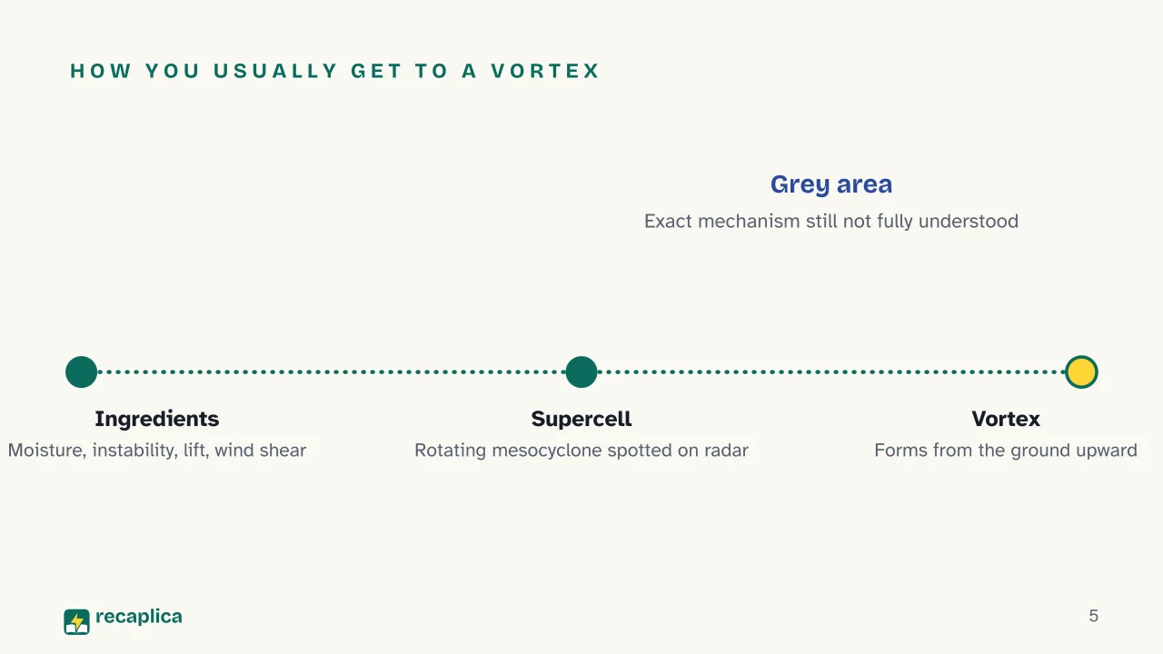  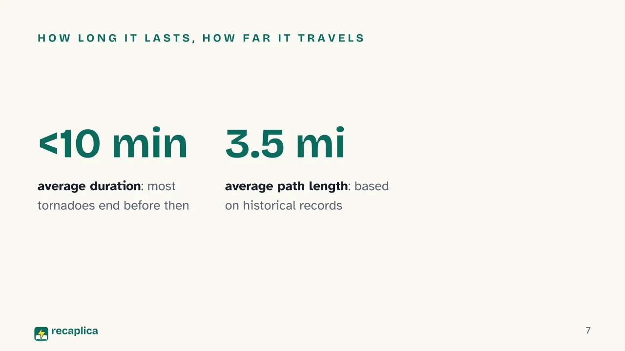  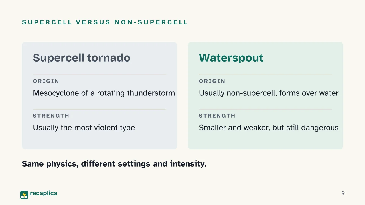  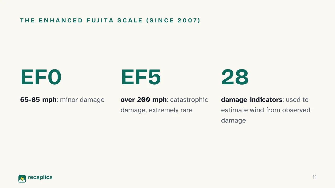  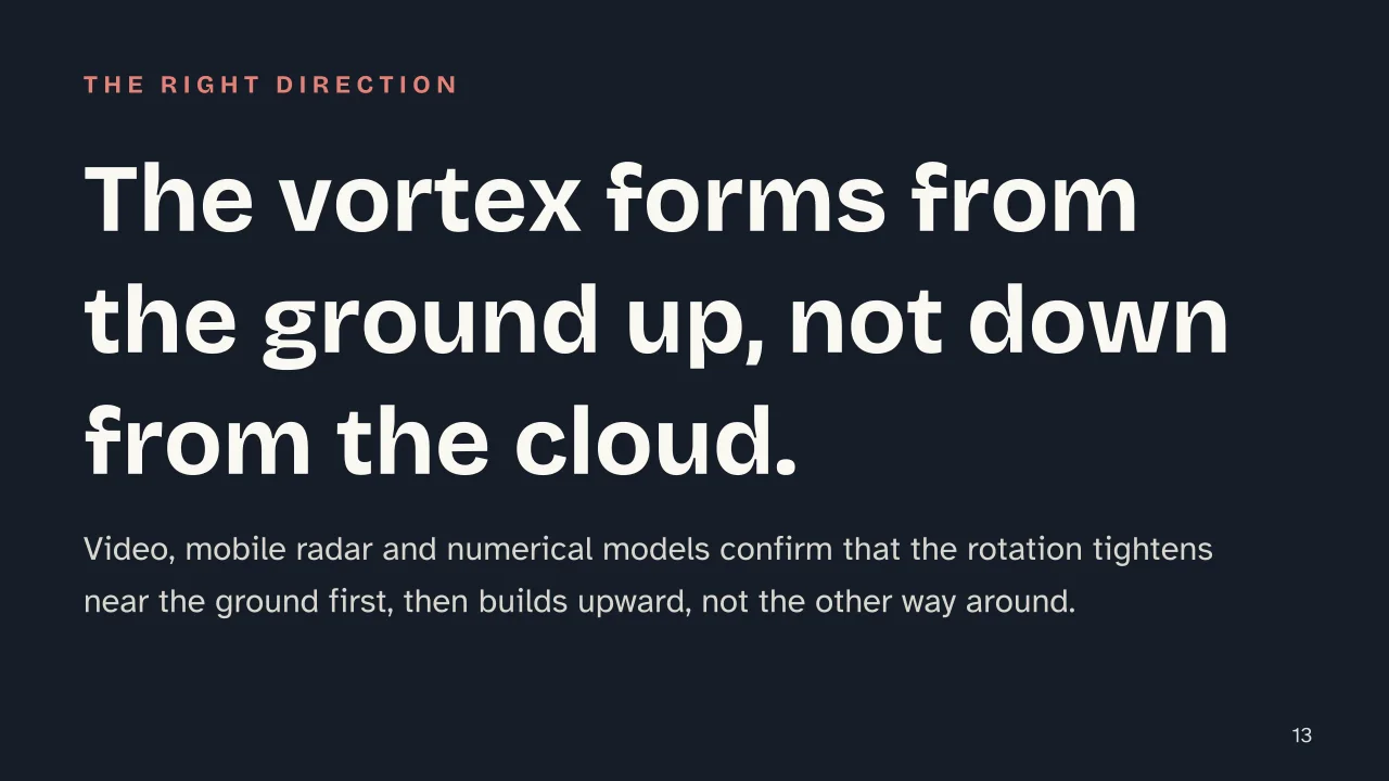 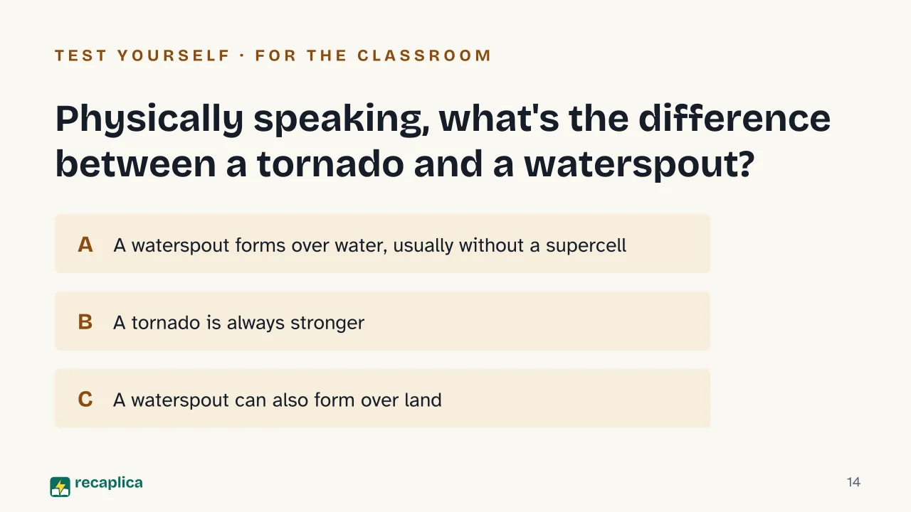  Common myths
Mind mapDrag the background to move around and the nodes to reposition them; use − and + to collapse and expand branches. 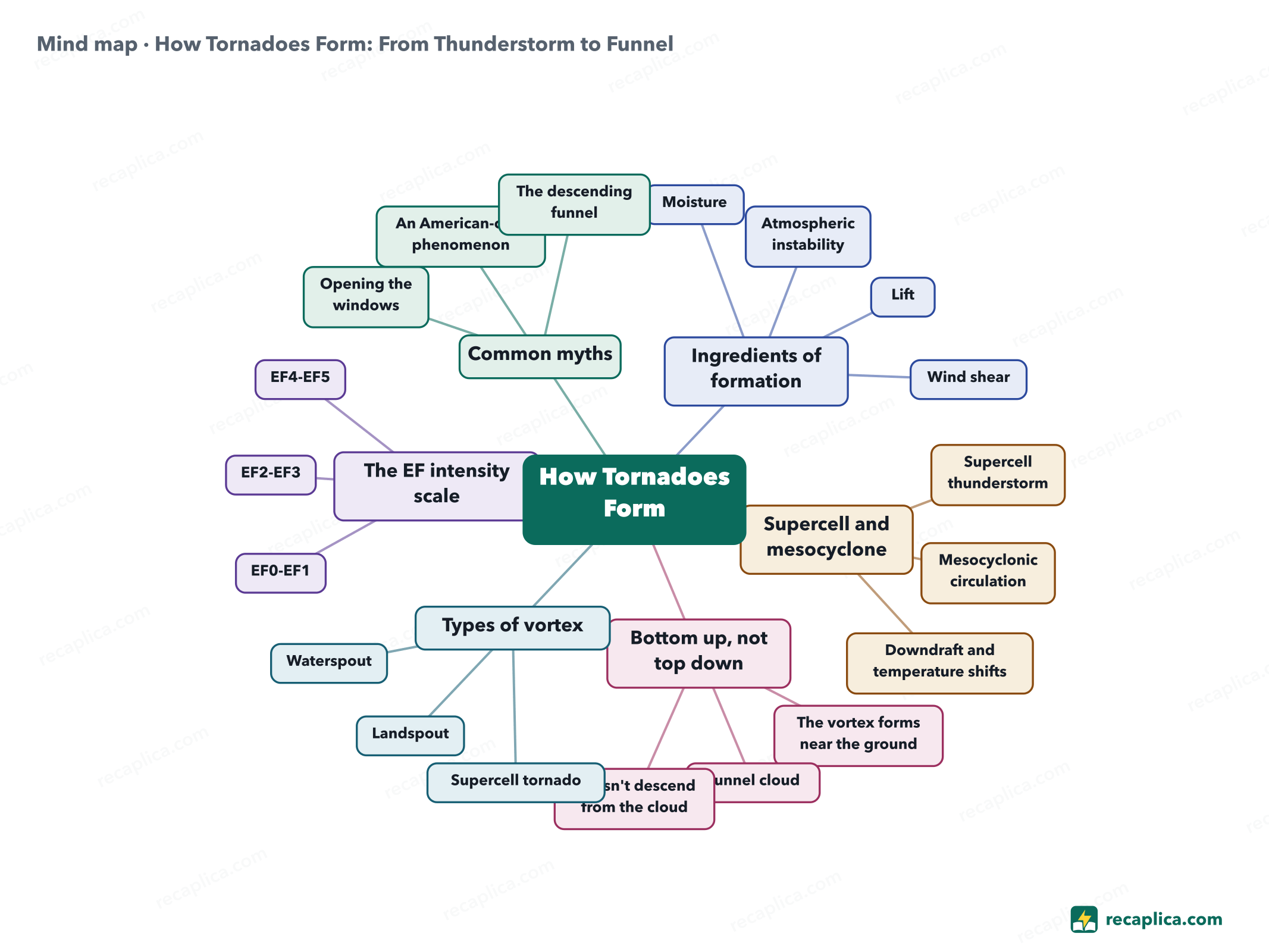
Quiz: test yourselfAnswer the questions to check what you have learned: you get instant feedback and a short explanation. Grade 0/10 0/5
FlashcardsTap the card to flip it and check whether you remember the answer, then move to the next one. 1 / 8 Explain it in your own wordsThe ultimate test: if you can explain it in simple words, you've truly understood it. Write your explanation, then compare it with the Recap. Your explanation is saved only on this device.
Frequently asked questionsWhat's the difference between a tornado and a waterspout?A waterspout is a tornado that forms over water, usually without the large mesocyclone of a land-based supercell. It's generally smaller and weaker than a supercell tornado, but it stays dangerous for anyone nearby, on the water or on shore. How long does a tornado last?Most tornadoes last under 10 minutes, according to historical data from NOAA's Storm Prediction Center, and travel about 3.5 miles (roughly 5.6 km) on average. How strong is an EF5 tornado?EF5 is the top category of the Enhanced Fujita Scale, with estimated winds above 200 mph (over 322 km/h). That figure is a damage-based estimate, drawn from what happened to buildings and trees, not a direct anemometer reading. Do tornadoes only happen in the United States?No. The US sees the most and the strongest tornadoes because of its geography, but the same physical phenomenon occurs elsewhere: the UK's Met Office logs around 30-35 tornadoes a year, and Italy's Po Valley and coastal areas are among the regions most affected in Europe. What is a mesocyclone, exactly?A mesocyclone is the well-defined rotating circulation at the core of a supercell thunderstorm, detectable on radar. Once a mesocyclone is underway, tornado development appears linked to temperature changes at the edge of the downdraft wrapping around it, though scientists still don't fully understand the exact process. Every Recap goes through an independent review before publication. |