|
recaplica
What Is Frost and How Does It Form? |
| © 2026 Recaplica · recaplica.com — All rights reserved |
What Is Frost and How Does It Form?What to print Page numbers appear when printing with default margins. SlidesChoose a cut Flash10 slidesThe essential thread, to present in classFull14 slidesEvery chapter and the deeper detailBoth come with speaker notes. In 30 seconds quick readFrost is the layer of ice crystals that appears on grass, cars and roofs on cold mornings. It forms through deposition, when water vapor in the air turns directly into ice without passing through a liquid stage first. This requires the surface itself to drop below 0°C, a condition that develops most easily on clear nights with light wind and no fog. Some surfaces frost earlier than others because they lose heat at different rates: grass faster than asphalt, glass and metal faster than most other materials. Frost should not be confused with rime, which forms when supercooled fog droplets freeze on contact with a surface exposed to wind. Key Points
Deep DiveWhat frost actually is, physicallyFrost is a layer of small ice crystals that forms on grass, leaves, cars and other surfaces exposed to open air. The mechanism is deposition: water vapor in the air turns directly into a solid, skipping the liquid stage entirely. It’s the same process that forms dew, with one decisive difference — with frost, the surface temperature has dropped below 0°C, while with dew it stays above. Rain isn’t part of the process at all. The crystals can take different shapes, such as scales or small fans, depending on how the vapor settles along the thin edges of leaves and twigs. To see where that airborne vapor comes from in the first place, it’s worth looking at the water cycle, which traces the path from evaporation to precipitation. The conditions that favor frostNot every cold night produces frost. Among the factors that matter most are a clear sky, light or no wind, and air free of fog. A cloudless night lets the ground surface shed heat toward the sky efficiently, somewhat the opposite of what happens with the greenhouse effect, where a blanket of clouds traps heat near the ground. Without that blanket, the surface cools faster and can drop below 0°C even while the air just above it stays milder. Wind plays a role that runs against intuition: even a light breeze, around 5 to 8 kilometers per hour, is enough to mix the air near the ground and stop a cold layer from settling in one place long enough to frost. That’s why windy nights, even freezing ones, often end up frost-free by morning. Fog pulls in the same direction as wind, but for a different reason — it reduces radiational cooling at the surface, acting as its own kind of blanket. Anyone checking weather forecasting ahead of a cold morning often finds these three pieces together, sky, wind, fog, because they’re exactly what forecasters watch to judge the risk of frost. Why some surfaces frost before othersOn the same night, in the same area, not every surface reaches 0°C at the same time. Grass, for instance, loses heat faster than asphalt overnight, so it crosses that threshold sooner. It’s why a lawn can turn white with frost while the road a few meters away stays bare.
Metal behaves much like glass, shedding heat efficiently and reaching the frost point quickly. Roofs and car bodies, exposed on several sides at once, reach that threshold before an isolated flat surface does. The ground is colder than the forecast suggestsWeather forecasts report air temperature measured about 2 meters above the ground, using a standard instrument. The ground surface itself can drop well below that reading, especially on the clear nights described above — which is why frost sometimes shows up even when the forecast doesn’t mention below-zero temperatures. That gap between air temperature and surface temperature also matters for reading late-season frosts at the close of winter, when the risk to crops often depends more on what’s happening at leaf level than on a thermometer out on a balcony. Frost or rime: the physical differenceFrost and rime can look alike at first glance, both leaving a white deposit on branches and wires, but they come from two different mechanisms. Frost comes from water vapor in the air, which deposits directly as ice on a surface below 0°C. Rime, instead, comes from supercooled water droplets carried by fog, which freeze instantly when they touch a surface exposed to wind: the result is an opaque, granular deposit, rougher to the touch, that forms mainly on vertical surfaces such as branches, wires and poles. The distinction isn’t just a matter of vocabulary. Humid, foggy air works for rime and against frost at once: one process speeds up, the other stalls. Even so, the visual result, frosted branches and wires, can look much the same to someone walking by on a winter morning. Slide deckSlides ready to download and make your own in PowerPoint or Google Slides, with speaker notes. Pick the Flash cut or the Full one.  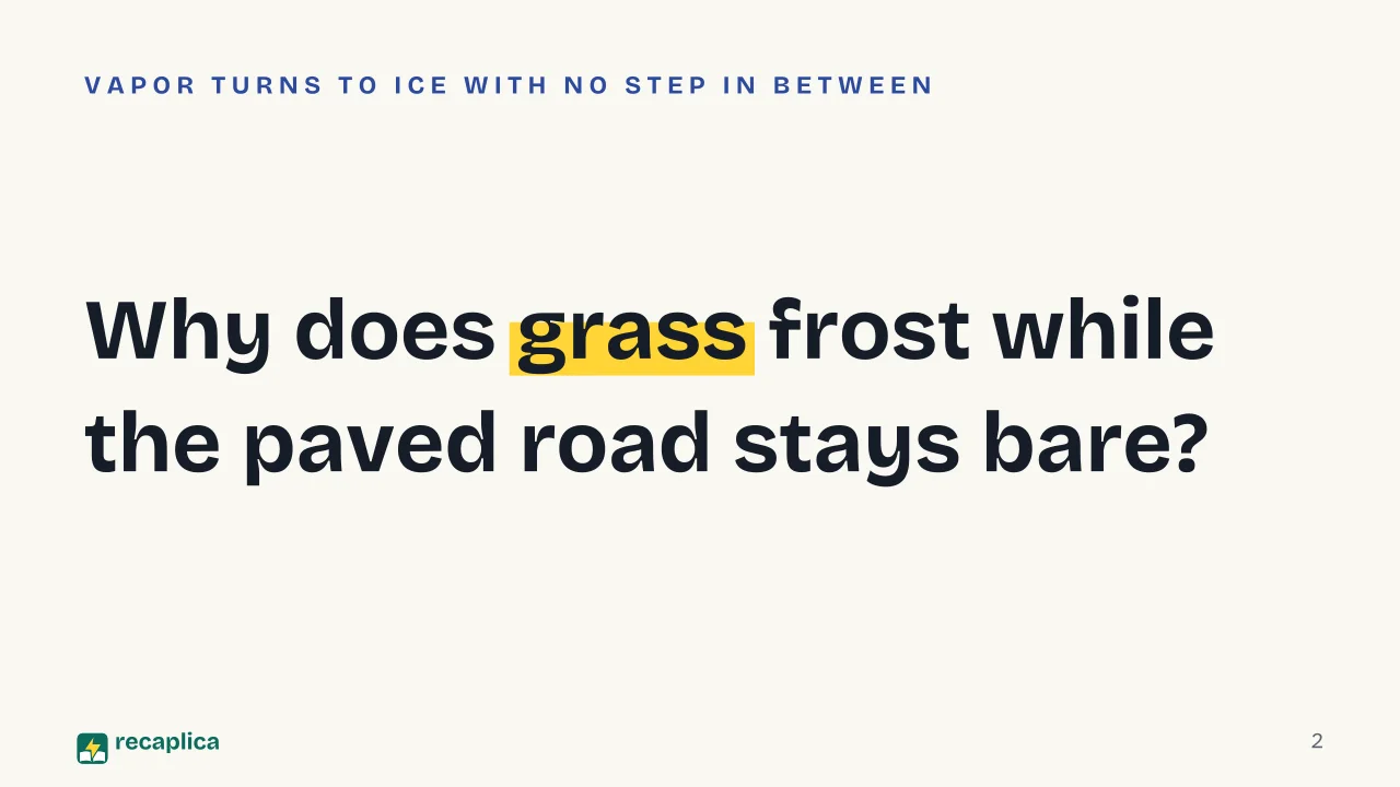   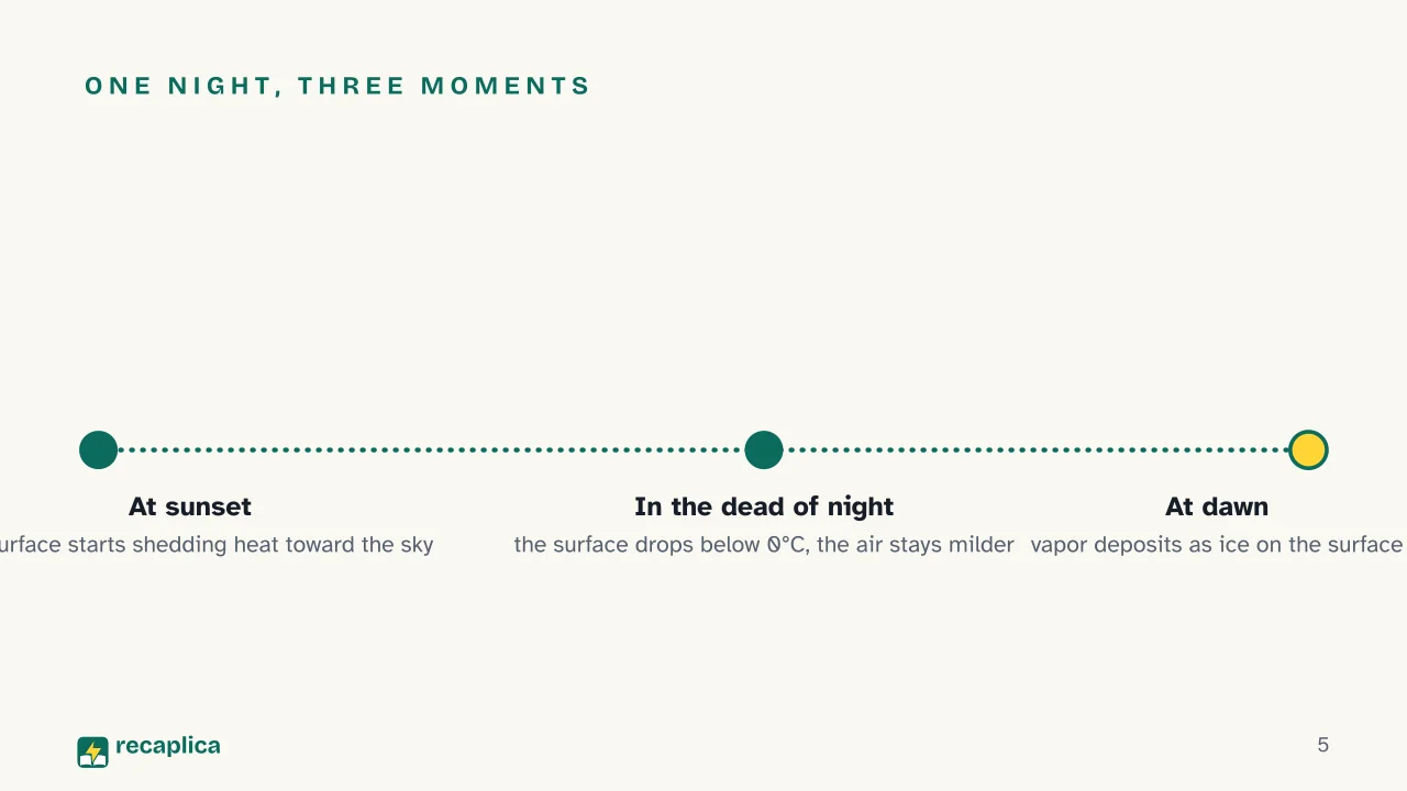  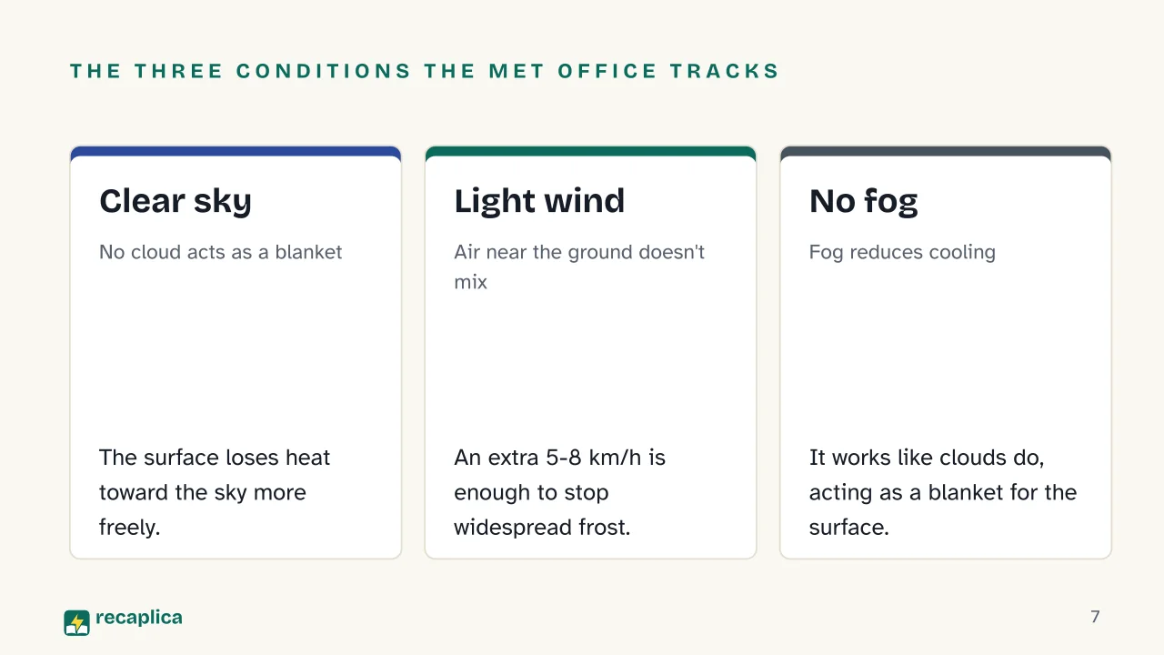  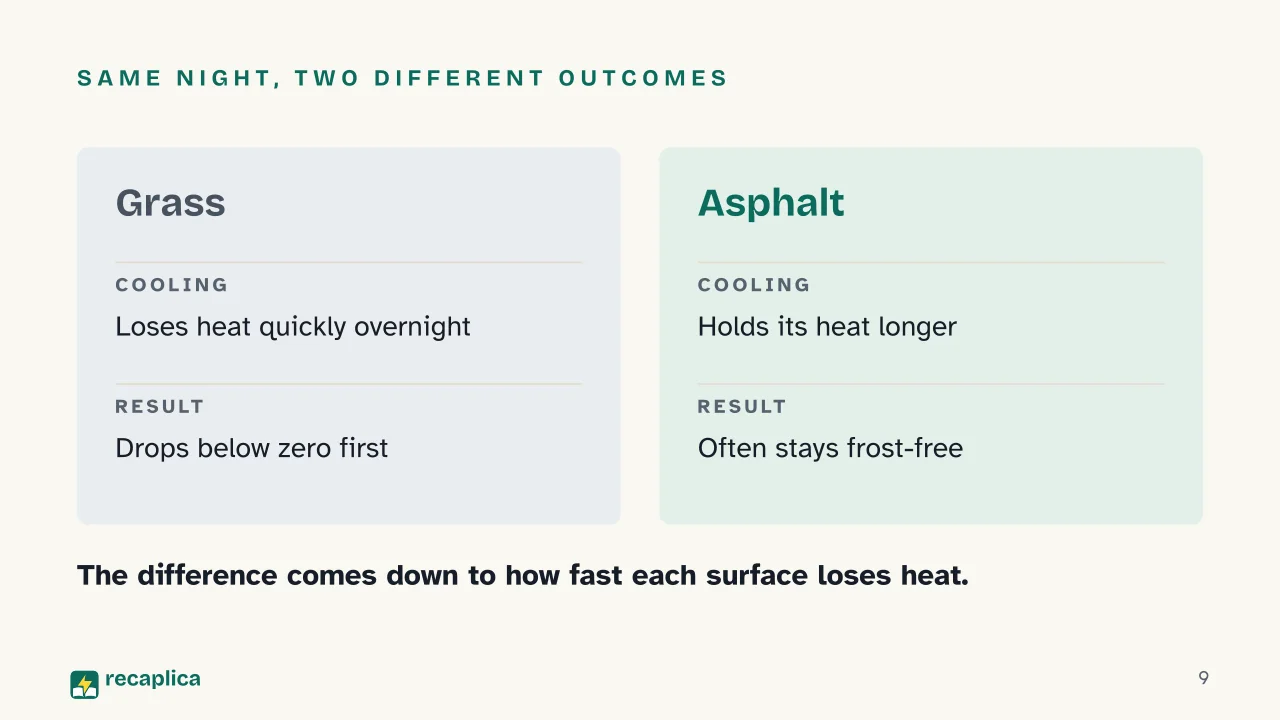 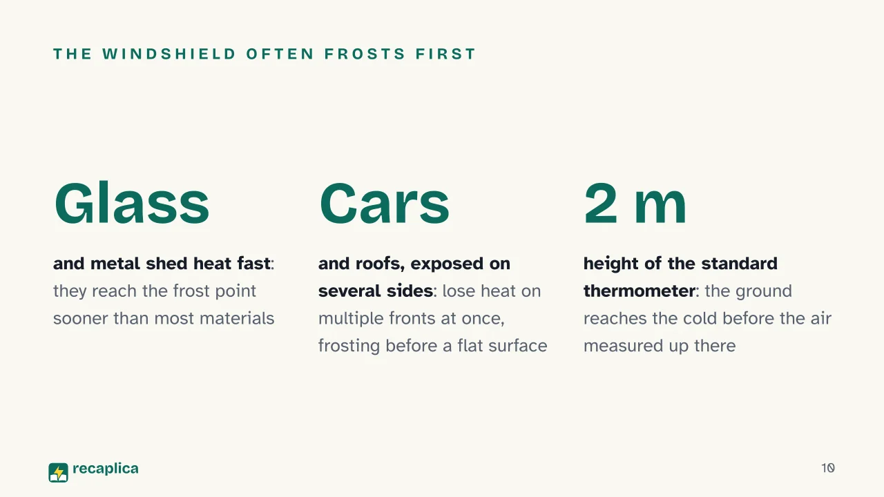  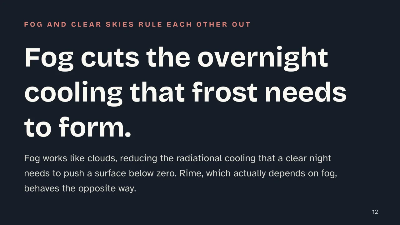 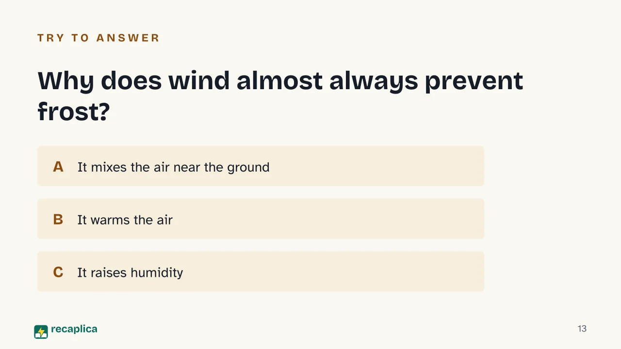  Common myths
Mind mapDrag the background to move around and the nodes to reposition them; use − and + to collapse and expand branches. 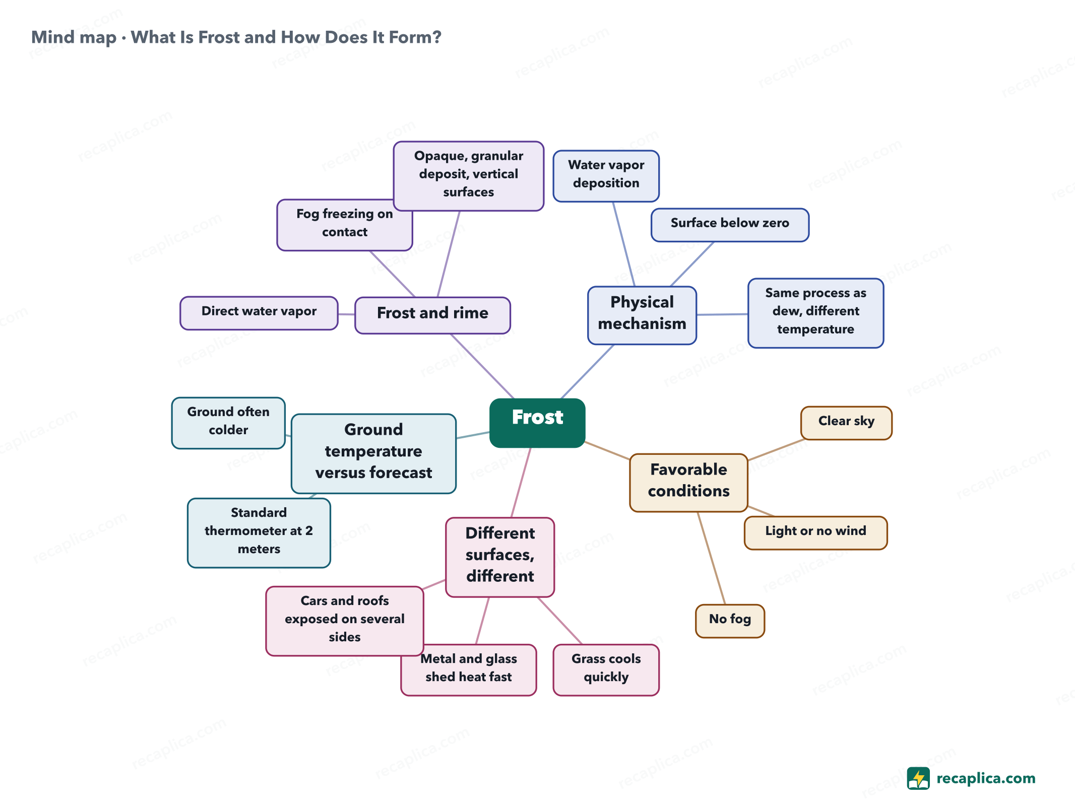
Quiz: test yourselfAnswer the questions to check what you have learned: you get instant feedback and a short explanation. Grade 0/10 0/5
FlashcardsTap the card to flip it and check whether you remember the answer, then move to the next one. 1 / 7 Explain it in your own wordsThe ultimate test: if you can explain it in simple words, you've truly understood it. Write your explanation, then compare it with the Recap. Your explanation is saved only on this device.
Frequently asked questionsAre frost and rime the same thing?No. Frost comes from water vapor depositing directly as ice on a surface below 0°C, while rime appears when very cold but still liquid fog droplets freeze instantly against a surface exposed to wind. They are two distinct physical processes, even if the visual result can look alike. Why do I find frost on grass but not on the paved road?Grass loses heat faster than asphalt overnight and drops below 0°C sooner. The road, slower to cool, can stay frost-free on the same night. Why is there no frost on windy nights, even when it's very cold?Because even a light wind stirs the air just above the ground, and without a still, cold layer of air, frost doesn't form over a wide area. Can frost form even if the forecast doesn't call for below-zero temperatures?Yes. The forecast reading comes from a thermometer about 2 meters above the ground, while the ground itself, especially on a clear, calm night, can stay colder than that value. Every Recap goes through an independent review before publication. |