Skip to content
recaplica

    One moment: security check

    Cloudflare wants to make sure you're not a robot. Tick the box below and your search will continue on its own.

    IT
    recaplica The World Map: How It Was Made and Who Decides Its Borders
    © 2026 Recaplica · recaplica.com — All rights reserved
    Home › History

    The World Map: How It Was Made and Who Decides Its Borders

    By Recaplica Newsroom · Updated on September 8, 2026

    What to print

    Page numbers appear when printing with default margins.

    Slides

    Choose a cut

    Flash10 slidesThe essential thread, to present in classFull18 slidesEvery chapter and the deeper detail

    Both come with speaker notes.

    Telegram channel
    recaplica Clear in 30 seconds, yours in 10 minutes.
    In 30 seconds Key points Figures Deep dive Slides Myths Mind map Quiz Flashcards FAQ

    In 30 seconds quick read

    The world map is the result of centuries of adjustments, not a drawing fixed once and for all. Its oldest known origin is a Babylonian clay tablet dated between 700 and 500 BCE, while the shape sailors still use was born in 1569, with Gerardus Mercator's projection. Political borders change through a precise mechanism, the UN admits new states as members on the Security Council's recommendation, but genuine recognition remains an act each country carries out on its own. Official geographical names, instead, go through the work of UNGEGN, the United Nations group of experts dedicated to place names. Two concrete examples, Nauru's name change to Naoero notified to the UN on June 26, 2026, and South Sudan's admission as the 193rd member state in 2011, show how the map keeps changing.

    Key Points

    • The oldest known world map is a Babylonian clay tablet, dated between 700 and 500 BCE and unearthed at Sippar, in what is now southern Iraq, in 1881: it is held at the British Museum in London.
    • In 1569 the Flemish cartographer Gerardus Mercator published a projection that let sailors plot navigation routes as straight lines; it still underlies nautical charts.
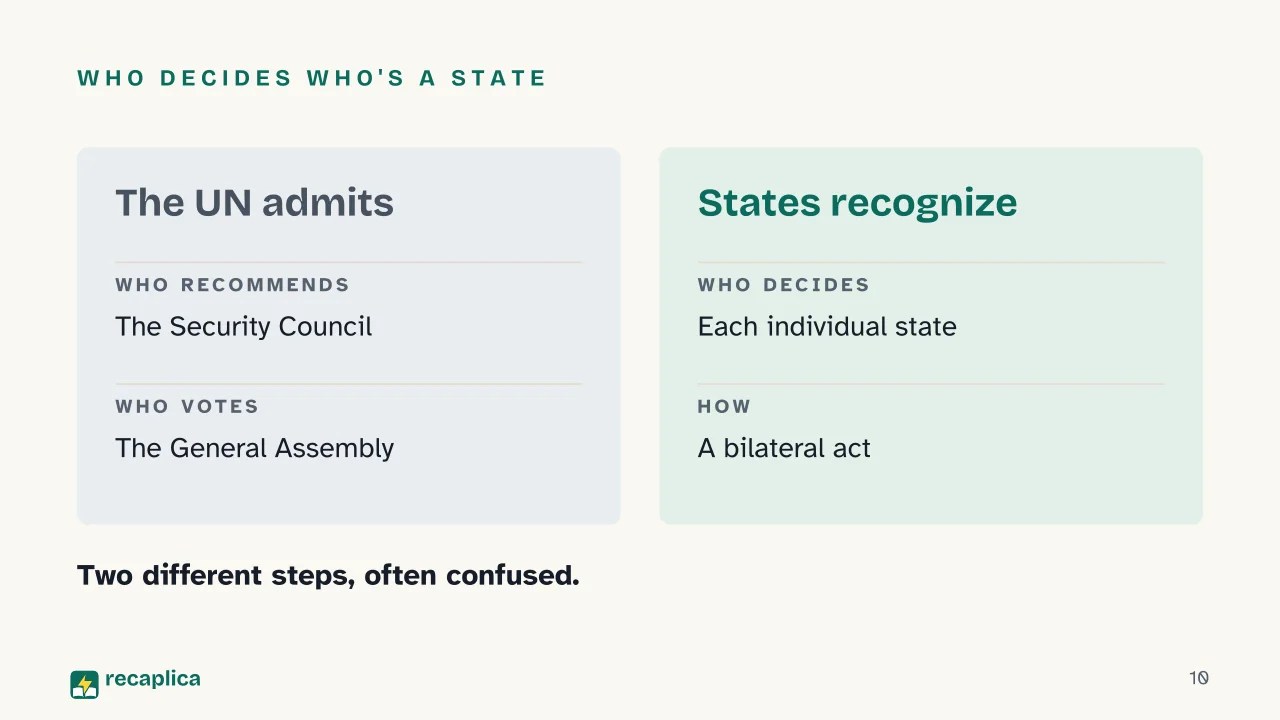
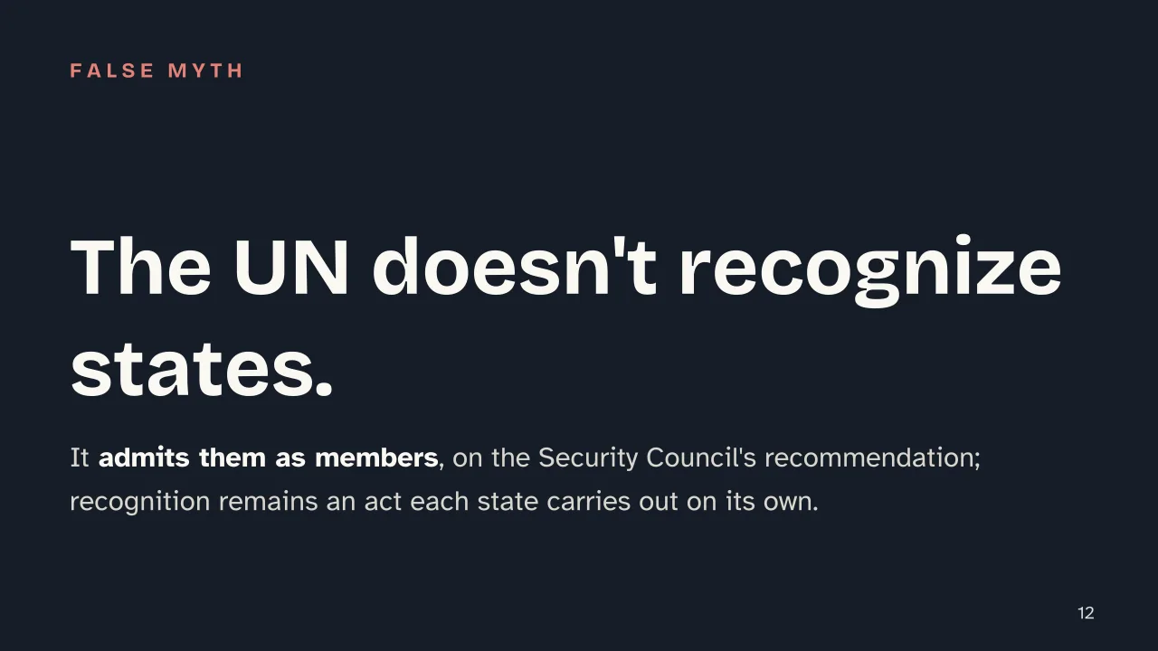
    • The UN does not recognize states in a legal sense: it admits them as members on the Security Council's recommendation and a General Assembly vote; recognition itself stays a bilateral act between individual states.
    • Official geographical names go through UNGEGN, the United Nations group of experts founded in 1960 and run under the Economic and Social Council (ECOSOC), whose goal is for each country to choose its own standardized names.
    • On June 26, 2026, Nauru notified the UN of its name change to the Republic of Naoero: same state, same border, just a different name. South Sudan, by contrast, became a genuinely new state and border when it was admitted as the UN's 193rd member on July 14, 2011.
    • Since July 23, 1972, when the first Landsat satellite launched, continuous satellite imagery of the Earth's surface has been available, useful for monitoring borders and land use alike.

    Key figures

    • 1569 the year Gerardus Mercator published his projection, printed on 18 copper sheets and still the basis of nautical charts Source: Wikipedia, "Mercator 1569 world map" (cross-checked against academic sources)
    • June 26, 2026 the date Nauru formally notified the United Nations of its name change to the Republic of Naoero Source: United Nations, Member States page — Naoero
    • July 23, 1972 the launch of the first Landsat satellite, opening the longest-running continuous Earth observation program Source: USGS (U.S. Geological Survey)

    Deep Dive

    From a Clay Disc to a Satellite in Orbit

    A world map looks like a stable object, almost a given. Every version ever drawn actually tells two things at once, how much was known about the planet at the moment it was made, and who had the power to decide what to call a place and where to draw its border. The story starts with a clay disc in Mesopotamia and reaches, by way of a Renaissance printing press and the United Nations, all the way to satellites that have been photographing the Earth for over half a century.

    A Tablet Tells the World

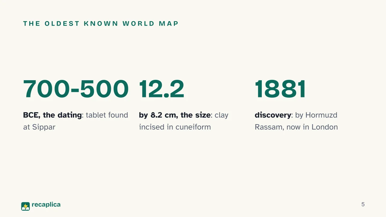
    The oldest known world map is a clay tablet incised in cuneiform script, dated between 700 and 500 BCE and unearthed at Sippar, in what is now southern Iraq. The British archaeologist Hormuzd Rassam discovered it in 1881; it is held at the British Museum in London, and measures a mere 12.2 by 8.2 centimeters.

    Babylon sits at the center of the tablet. Around it appear other places familiar to Babylonian scribes, such as Assyria and Elam, and the whole area is ringed by a circular waterway known as the Bitter River. Strictly speaking, it is not a geographic map, its purpose was to explain the Babylonians’ mythological view of the world, not to help anyone find their way from one place to another.

    Mercator, 1569: The Map That Still Navigates

    More than two thousand years pass before the next leap, the one that made precise long-distance navigation possible.

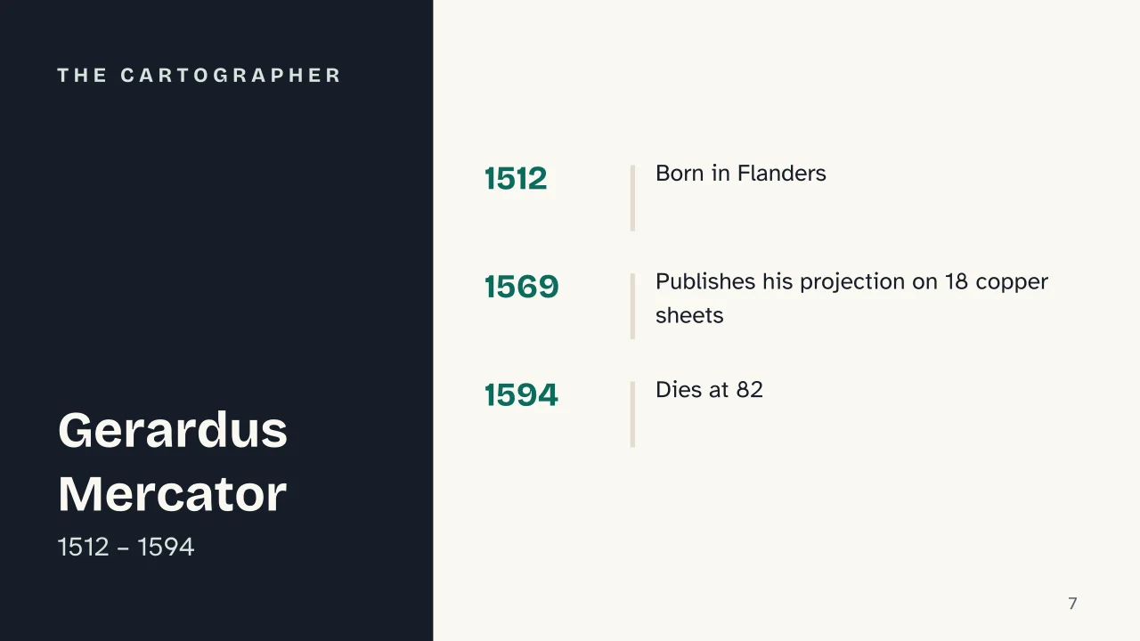
    In 1569 the Flemish cartographer Gerardus Mercator (1512-1594) published a map with a sprawling title, “Nova et Aucta Orbis Terrae Descriptio ad Usum Navigantium Emendate Accommodata,” roughly a representation of the globe corrected specifically for the use of sailors. It was printed on 18 separate sheets, each 33 by 40 centimeters, which assembled together reached 202 by 124 centimeters overall.

    The innovation lies in how a spherical Earth gets flattened onto a sheet. Mercator drew meridians parallel to one another and parallels at right angles to the meridians, with the spacing between parallels widening the closer they get to the poles. That technical choice has an enormous practical consequence, it lets sailors plot navigation routes, known as rhumb lines, as straight lines on a flat chart.

    Practical example: a captain who needs to hold a constant compass heading, say west-southwest, actually follows a slightly curved path on a three-dimensional globe. On the Mercator projection that same route becomes a straight line, traceable with a ruler, which is why the projection still underlies nautical charts.

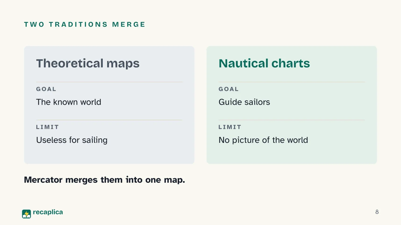
    Mercator’s map fuses two traditions that had stayed separate until then, theoretical world maps, meant to represent geographic knowledge, and the practical nautical charts sailors passed down to find their way at sea. It is also among the earliest maps to use the names “North America” and “South America” for the two continents.

    EraPeriodInnovationMain purpose
    Babylonian tablet700-500 BCEEtched into clayRepresent a worldview
    Mercator projection1569Rhumb lines as straight linesGuide navigation
    Landsat programsince 1972Continuous satellite observationMonitor territory and borders

    Who Admits a New State, and Who Actually Recognizes It

    The twentieth century rewrote the political map more than once, and not gently, World War 1 brought down the multinational central empires that had dominated Europe and the Near East, while World War 2 redrew borders again and led, in 1945, to the founding of the United Nations, the organization that has kept the official list of the world’s states ever since.

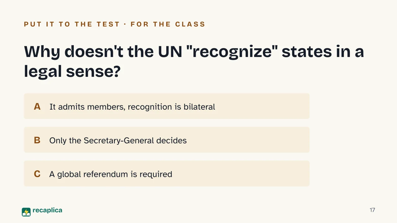
    When a new state is born, though, the UN doesn’t “recognize” it in a formal legal sense, it admits it as a member, through a precise two-step procedure. The Security Council recommends admission, then the General Assembly adopts a resolution that makes it effective. Recognition of one state by another, by contrast, remains a bilateral political act, each country decides on its own whether and when to recognize another, regardless of that country’s admission to the United Nations.

    Practical example: when a new state joins the UN, its place on the official list is secured by a General Assembly vote. That doesn’t mean every other country on the planet recognizes it automatically, bilateral recognition is a separate political decision that each state makes on its own, and it can come before, after, or never at all.

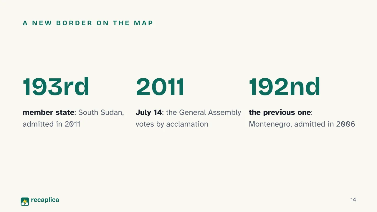
    The most complete example of this procedure is South Sudan. On July 13, 2011, the Security Council recommended admission; the next day, July 14, 2011, the General Assembly adopted the resolution by acclamation, and South Sudan became the 193rd member state of the United Nations. The country had declared independence on July 9, 2011, after a referendum held that January under the 2005 Comprehensive Peace Agreement, which had ended the civil war between North and South Sudan. Five years earlier, on June 28, 2006, Montenegro had become the 192nd member.

    A new border is never entirely without precedent in history. In the nineteenth century it was the Italian unification that redrew the peninsula, merging pre-existing states into a single kingdom; in the twentieth century it was South Sudan’s turn, among others. Not every border, though, is born from a negotiated process with this much clarity, the line splitting the two Koreas was drawn along the 38th parallel under very different circumstances, without a UN pathway comparable to South Sudan’s.

    Who Decides the Names on the Map

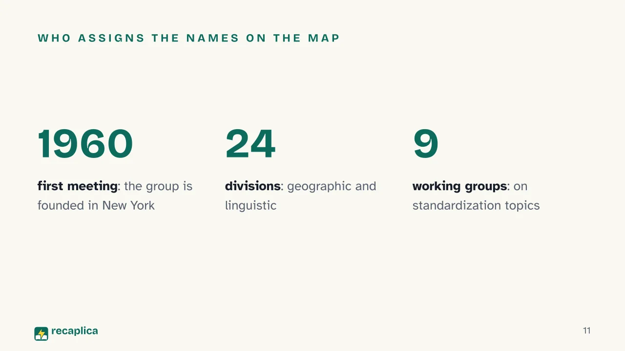
    Admitting a state is one thing, deciding what it’s called, in every language and on every world map, is a different and ongoing job. That falls to UNGEGN, the United Nations Group of Experts on Geographical Names, one of nine expert groups under the Economic and Social Council (ECOSOC). The group first met in 1960 in New York and held its official conference in 1967 in Geneva; in August and September 1977 the Third United Nations Conference on the Standardization of Geographical Names, in Athens, launched the compilation of shared toponymic guidelines.

    UNGEGN’s structure includes a Bureau, 24 geographic and linguistic divisions, and 9 thematic working groups, and its stated goal is not to impose names from above, it is for each country to decide its own official names through a national authority or a recognized administrative process. The conference is held every five years; the eleventh edition took place in August 2017 in New York, and the next is set for April 26-30, 2027, again at United Nations headquarters.

    Two Different Ways to Change the Map

    Not every change to the political map is the same, and a recent example helps distinguish them from an older case like South Sudan’s.

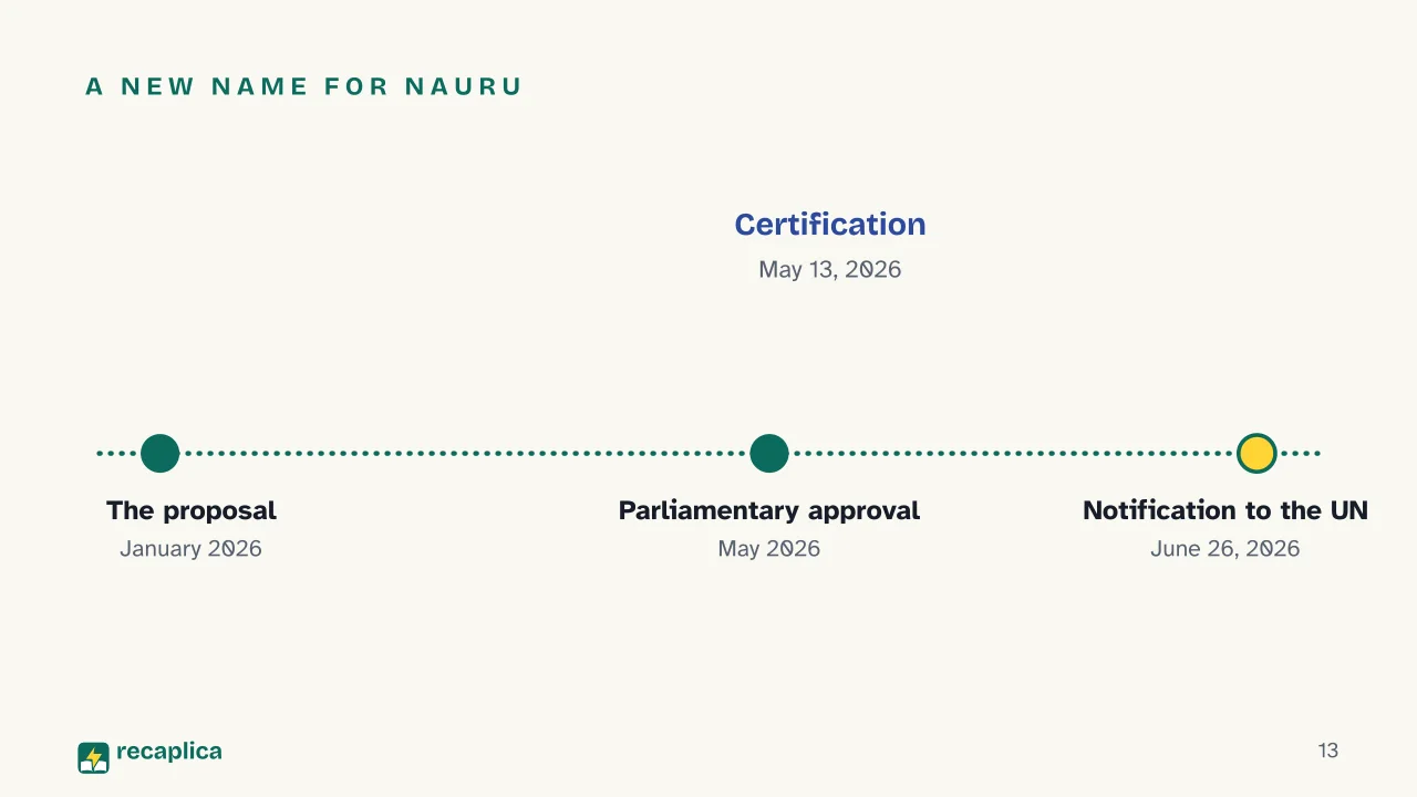
    On June 26, 2026, Nauru formally notified the United Nations of its own name change to the Republic of Naoero. The path had begun months earlier, President David Adeang had put forward the proposal in January 2026, parliament had approved it unanimously in May, with official certification on May 13, 2026, and the wider public announcement came on July 30, 2026. The stated reason concerned the country’s heritage, language and identity, the name Naoero already appeared on the national coat of arms and was in local use; no referendum was held. What changed were the official designation, “Republic of Naoero,” the short form, “Naoero,” and the international code, updated to “NRO,” what stayed the same were the border, the territory and the seat at the United Nations.

    South Sudan’s case, described above, differs in substance, in 2011 it wasn’t a name change to an existing state, a new one was born, with a new border drawn against Sudan. Confusing the two kinds of event, a change of name and the birth of a new state, is one of the most common mistakes when reading a piece of political geography news.

    The View From Orbit

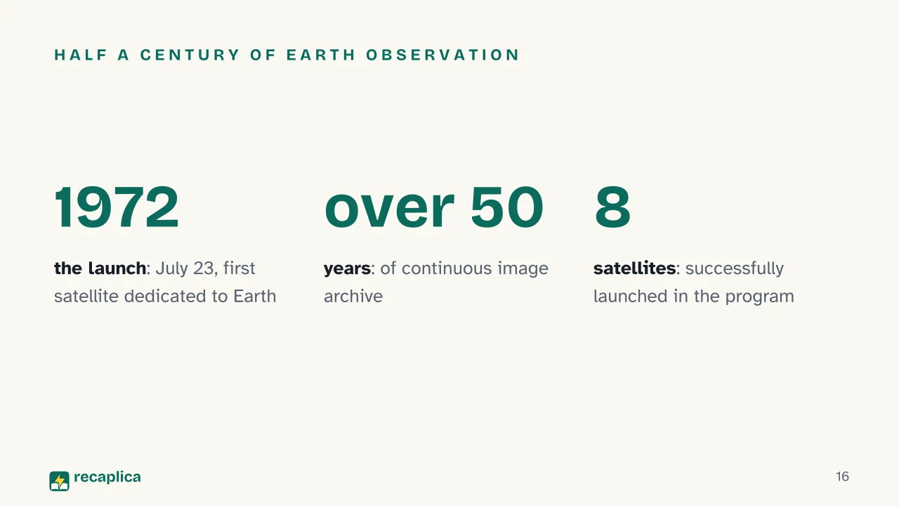
    Another great shift in cartography doesn’t concern borders themselves, but the way of observing them. On July 23, 1972, the United States launched from Vandenberg, California, the first satellite of the Landsat program, originally named ERTS (Earth Resources Technology Satellite), the first satellite designed explicitly to study the planet, jointly run by NASA and the USGS, the United States Geological Survey. Its main sensor, the Multispectral Scanner, was designed by engineer Virginia Norwood, remembered as the “Mother of Landsat.”

    Since that launch the program hasn’t stopped, it has become the longest-running satellite Earth observation program, with a continuous image archive spanning over 50 years and eight successfully launched satellites. The data it produces serves those who manage territory, for monitoring land use and tracking how landscapes, coastlines and borders that once could only be measured from the ground change over time.

    Slide deck

    Slides ready to download and make your own in PowerPoint or Google Slides, with speaker notes. Pick the Flash cut or the Full one.
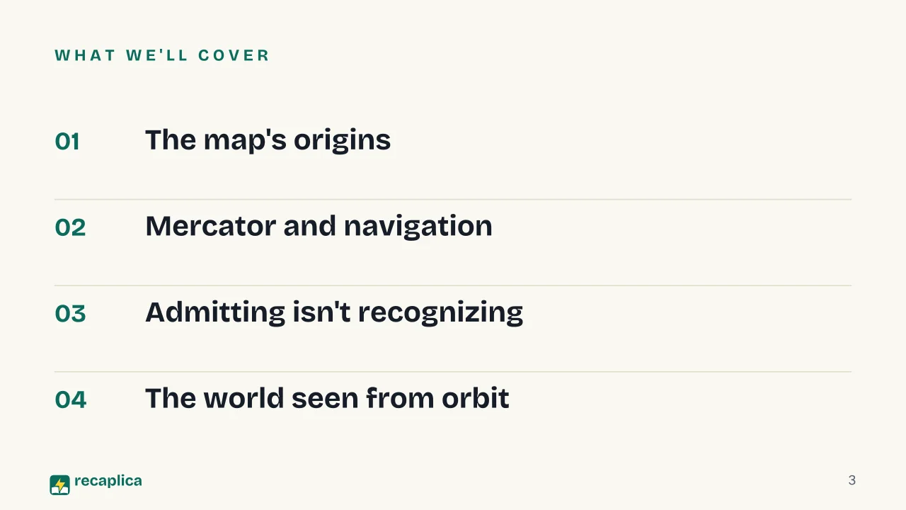
    Slide 1 of the presentation on The World Map: The World MapSlide 2 of the presentation on The World Map: Who decides where one country ends and another begins?Slide 3 of the presentation on The World Map: What we'll coverSlide 4 of the presentation on The World Map: Chapter 01: The map's originsSlide 5 of the presentation on The World Map: The oldest known world mapSlide 6 of the presentation on The World Map: Chapter 02: Mercator and navigationSlide 7 of the presentation on The World Map: The cartographerSlide 8 of the presentation on The World Map: Two traditions mergeSlide 9 of the presentation on The World Map: Chapter 03: Admitting isn't recognizingSlide 10 of the presentation on The World Map: Who decides who's a stateSlide 11 of the presentation on The World Map: Who assigns the names on the mapSlide 12 of the presentation on The World Map: The UN doesn't recognize states.Slide 13 of the presentation on The World Map: A new name for NauruSlide 14 of the presentation on The World Map: A new border on the mapSlide 15 of the presentation on The World Map: Chapter 04: The world seen from orbitSlide 16 of the presentation on The World Map: Half a century of Earth observationSlide 17 of the presentation on The World Map: Why doesn't the UN "recognize" states in a legal sense?Slide 18 of the presentation on The World Map: And now, the review
    Flash10 slidesThe essential thread, to present in classFull18 slidesEvery chapter and the deeper detail

    Common myths

    • ✗ Myth The UN officially recognizes the world's new states.

      ✓ Reality The UN does not have this power in a formal legal sense, it admits them as members, on the Security Council's recommendation and a General Assembly vote, as happened with South Sudan on July 14, 2011. Recognition remains an act that each state carries out on its own, bilaterally, regardless of UN admission.

    • ✗ Myth The Mercator projection shows the true sizes of the continents.

      ✓ Reality Mercator spaced the parallels so they widen toward the poles, specifically so sailors could plot routes as straight lines. That same choice visually inflates land area farther from the equator, a map built for navigation, not for comparing continent sizes.

    • ✗ Myth Nauru's name change to Naoero, in 2026, created a new state on the map.

      ✓ Reality It is the same state, with the same border and the same UN seat, only the official name changed, notified to the United Nations on June 26, 2026. That is a different case from South Sudan, which in 2011 was genuinely born as a new state, with a new border.

    Mind map

    Drag the background to move around and the nodes to reposition them; use − and + to collapse and expand branches.
    Customize
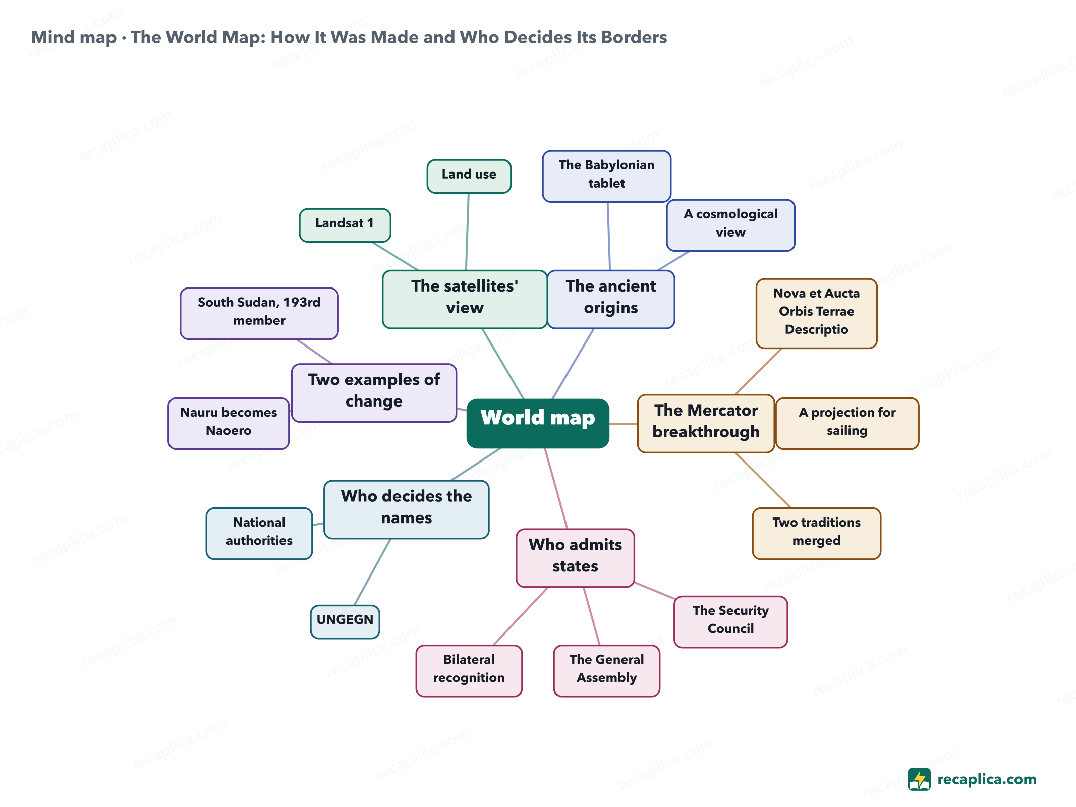
    Mind map: The World Map: How It Was Made and Who Decides Its Borders
    • World map
      • The ancient origins
        • The Babylonian tablet 700-500 BCE, found at Sippar in 1881
        • A cosmological view Babylon at the center, the Bitter River around it
      • The Mercator breakthrough
        • Nova et Aucta Orbis Terrae Descriptio Published in 1569, on 18 copper sheets
        • A projection for sailing Rhumb lines become straight lines
        • Two traditions merged Theoretical maps and nautical charts
      • Who admits states
        • The Security Council Recommends admission
        • The General Assembly Votes on the resolution
        • Bilateral recognition A separate act, between individual states
      • Who decides the names
        • UNGEGN ECOSOC group of experts, founded in 1960
        • National authorities Each country picks its own official names
      • Two examples of change
        • Nauru becomes Naoero Notified the UN on June 26, 2026
        • South Sudan, 193rd member Admitted on July 14, 2011
      • The satellites' view
        • Landsat 1 Launched on July 23, 1972
        • Land use Continuous data on territory and borders

    Quiz: test yourself

    Answer the questions to check what you have learned: you get instant feedback and a short explanation.

    Grade 0/10 0/5
    1 How does the UN admit a new state as a member?

    Admission follows a two-step procedure, the Security Council recommends it and the General Assembly votes on the resolution. That is exactly what happened with South Sudan, admitted as the 193rd member on July 14, 2011, one day after the Security Council's recommendation.

    2 What is the oldest known world map?

    It is the Babylonian Map of the World, dated between 700 and 500 BCE and unearthed at Sippar, in what is now southern Iraq, in 1881; it is held at the British Museum in London. It is not a geographic map in the modern sense, it shows the Babylonian cosmological view of the world.

    3 What made the 1569 Mercator projection special?

    Mercator spaced the parallels so they widen toward the poles specifically so sailors could plot rhumb lines, routes of constant compass bearing, as straight lines on a flat chart, a practical choice for navigation that visually inflates land area farther from the equator.

    4 True or false: the UN officially recognizes new states in a legal sense.

    False. The UN admits states as members, on the Security Council's recommendation and a General Assembly vote; legal recognition is a separate act that each state carries out bilaterally toward another, regardless of UN membership.

    5 What changed for Nauru on June 26, 2026?

    Neither a new state nor a new border, Nauru informed the UN of its official name change to the Republic of Naoero, after parliamentary approval in May 2026. That is a different kind of event from South Sudan, which in 2011 was born as a genuinely new state.

    Answers: 1-B · 2-A · 3-B · 4-B · 5-C

    Flashcards

    Tap the card to flip it and check whether you remember the answer, then move to the next one.

    1 / 7

    Explain it in your own words

    The ultimate test: if you can explain it in simple words, you've truly understood it. Write your explanation, then compare it with the Recap.

    Your explanation is saved only on this device.

    The world map is the result of centuries of adjustments, not a drawing fixed once and for all. Its oldest known origin is a Babylonian clay tablet dated between 700 and 500 BCE, while the shape sailors still use was born in 1569, with Gerardus Mercator's projection. Political borders change through a precise mechanism, the UN admits new states as members on the Security Council's recommendation, but genuine recognition remains an act each country carries out on its own. Official geographical names, instead, go through the work of UNGEGN, the United Nations group of experts dedicated to place names. Two concrete examples, Nauru's name change to Naoero notified to the UN on June 26, 2026, and South Sudan's admission as the 193rd member state in 2011, show how the map keeps changing.

    Frequently asked questions

    Who decides the borders of the world's countries?

    There is no single authority that draws borders. When a new state is born, the UN admits it as a member through a two-step procedure, the Security Council recommends admission, then the General Assembly votes on it. That is what happened with South Sudan, admitted as the 193rd member on July 14, 2011. The physical border itself comes from treaties, peace agreements or independence processes specific to each case.

    Does the UN officially recognize states?

    No, not in the formal legal sense. The UN admits states as members, on the Security Council's recommendation and a General Assembly vote. Recognition of one state by another remains a bilateral act, which each country decides on its own.

    Who sets the official names shown on the map?

    The United Nations Group of Experts on Geographical Names, UNGEGN, founded in 1960 and run under the Economic and Social Council (ECOSOC). It does not impose names from above, its stated goal is for each country to decide its own standardized names through national names authorities or recognized administrative processes.

    Why did Nauru change its name to Naoero?

    President David Adeang put forward the proposal in January 2026; parliament approved it unanimously in May, with official certification on May 13, 2026, and formal notification to the United Nations followed on June 26, 2026. The stated reason was to honor the country's heritage, language and identity, the name Naoero already appeared on the national coat of arms and was in local use.

    How have satellites changed mapmaking?

    Since July 23, 1972, when the first Landsat satellite launched, a program jointly run by NASA and USGS, a continuous archive of Earth imagery has been available. The program, now up to eight successfully launched satellites, supplies constant land-use data useful to anyone managing territory and tracking how it changes.

    Sources

    • Live Science — Babylonian Map of the World
    • Wikipedia — Mercator 1569 world map
    • United Nations Statistics Division — UNGEGN
    • Wikipedia — United Nations Group of Experts on Geographical Names
    • United Nations — Member States, Naoero
    • ABC News Australia — Nauru officially changes name to Naoero
    • UN News — South Sudan becomes 193rd UN member state
    • USGS — Landsat 1
    • USGS — Fifty years of exploration and innovation, how Landsat launched the remote sensing era

    Every Recap goes through an independent review before publication.

    Every evening, the day's new Recaps on our Telegram channel. Join the channel →

    Keep learning

    • History Martin Luther and the Protestant Reformation: A Summary Martin Luther was a German Augustinian monk who, according to tradition, nailed 95 theses against the sale of indulgences to the door of the Castle Church in Wittenberg in 1517. The act opened a religious process that lasted decades, later known as the Protestant Reformation, which led to Luther's excommunication and to a new Christian doctrine that took hold mainly in Germany and in the Scandinavian and Baltic countries. The clash with Emperor Charles V only ended in 1555 with the Peace of Augsburg, which split the territory of the Empire between Catholics and Lutherans. Read the Recap →
    • History Capetian Dynasty: Who Were the Kings Who Built Medieval France The Capetian dynasty ruled France from 987 to 1328, starting when an assembly of nobles elected Hugh Capet king. At first his real power covered a tiny territory, roughly 1,000 square kilometers between Paris and Orléans: the rest of the kingdom belonged to powerful feudal lords. Over the next two centuries the Capetian kings grew the Crown's holdings through alliances, marriages and war, culminating in Philip II Augustus's victory at Bouvines in 1214. Louis IX brought the dynasty to its religious and institutional peak, while Philip IV the Fair clashed openly with the papacy. When the direct line died out in 1328, the throne passed to the Valois, a branch of the same family. Read the Recap →
    • History Italian City-State: What It Was, How It Began, and How It Changed The Italian city-state was the form of self-government with which, starting in the late 11th century, many cities in northern and central Italy ran their own affairs, pulling free of direct control by bishops and feudal lords. It began as a government of consuls elected by an assembly of heads of household, then shifted to a foreign official called the podestà, and from the mid-13th century saw the institutions of the popolo take shape alongside it, organized by guild and led by the captain of the people. Through the 13th and 14th centuries, conflict between leading families and the popolo wore this balance down and opened the way to city lordships, the signorie. Venice followed a different path from the start, with an elected doge and its own system of councils. Read the Recap →

    recaplica

    Clear in 30 seconds, yours in 10 minutes.

    Recaps Mind maps Request a Recap Telegram channel Mind map maker Our method About Privacy & cookies Legal notes & terms of use

    © 2026 Recaplica · A project by Curi S.r.l. — VAT IT05472000750

    Statistics, only if you say so

    To learn which Recaps help most we would use Google Analytics, with aggregate, anonymous data. It starts only with your OK, and you can change your mind anytime. Privacy policy