|
recaplica
What Is a Shipwreck? How Archaeologists Study Them Underwater | ||||||||||
| © 2026 Recaplica · recaplica.com — All rights reserved | ||||||||||
What Is a Shipwreck? How Archaeologists Study Them UnderwaterWhat to print Page numbers appear when printing with default margins. SlidesChoose a cut Flash10 slidesThe essential thread, to present in classFull15 slidesEvery chapter and the deeper detailBoth come with speaker notes. In 30 seconds quick readWhen a ship sinks and stays on the seabed for at least 100 years, the 2001 UNESCO Convention classifies it as underwater cultural heritage. Before diving, maritime archaeologists dig through archives for clues, then use sonar, magnetometers and remotely operated vehicles to pin down a site. The 1960 excavation of the Cape Gelidonya wreck, led by George Bass, is widely credited with turning the field into a science. The UNESCO Convention has been in force since 2009 and names in-situ preservation, leaving a wreck where it lies, as the first option to consider, ahead of recovery. Key Points
Key figures
Deep DiveA shipwreck is what remains of a sunken vessel: a hull, a cargo, the objects on board, everything the sea covered instead of scattering. Not every shipwreck, though, is an archaeological site. Under the UNESCO Convention on the Protection of the Underwater Cultural Heritage, adopted in Paris on 2 November 2001, a shipwreck becomes underwater cultural heritage once it has sat on the seabed for at least 100 years, the threshold set in Article 1 of the Convention. A wreck younger than that follows its own, separate rules. Once it crosses the 100-year line, it falls under what the Convention protects. The Convention entered into force on 2 January 2009, as set out in Article 27. Member states commit to working together to protect and manage these sites, and to preserving them for the benefit of humanity. The text explicitly bans commercial exploitation of these sites for trade or speculation: a recognized site isn’t a deposit to mine for pieces to sell. From the archive to the seabedA maritime archaeologist does the reading long before the diving starts. According to NOAA, the search for a shipwreck usually starts on paper: an old ship’s log, a wreck account, a period chart. A name, a date, a route noted in an archival document can narrow a stretch of sea down to a manageable search area. That’s where the instruments take over. Sonar is the most common acoustic tool: it sends out thousands of sound pulses toward the seabed and builds an image of what lies beneath the water’s surface. Where it matters to see past the seabed itself, a sub-bottom profiler uses sound to penetrate sediment layers and produce a two-dimensional image of buried structures. A magnetometer works differently: it picks up shifts in Earth’s magnetic field, which is why it can spot even small iron objects, like cannonballs, through their magnetic signature.
1960, when underwater archaeology became a scienceAccording to NOAA and Texas A&M University’s Institute of Nautical Archaeology, maritime archaeology became a scientific discipline in 1960, when the Turkish government invited George Bass to lead the excavation of the wreck known as Cape Gelidonya. Both sources describe it as the first time an underwater excavation followed the same rigor as a land dig, measurement by measurement. Recovering objects from the sea predated that excavation, but not as systematic, documented work. Maritime archaeologists dive with scuba gear, document a site with photos and video, and take hand measurements with underwater slates and tape measures. It’s slow work, built to record first and recover second. Where conditions allow, photogrammetry speeds up the documentation: thousands of overlapping photos, often shot from a remotely operated vehicle, are stitched together into a 3D digital model of the site, one that can be examined far from the water. Over roughly fifty years of work, archaeologists at the Institute of Nautical Archaeology have followed dozens of wrecks from first survey through to published results. NOAA runs a similar process at a larger scale: its Maritime Heritage Program oversees 18 national marine sanctuaries across the United States, serving as a reference point for anyone exploring, documenting and protecting these sites. The first of those sanctuaries was established in 1975 around the newly discovered wreck of the USS Monitor, a Civil War-era ironclad. After the dig: what happens to the artifactsAmong the UNESCO Convention’s principles is in-situ preservation, leaving the wreck where it lies, which is named as the first option to consider, before recovery even enters the picture. There’s a practical reason behind that choice, too. An object submerged for decades or centuries settles into a new chemical balance with the water around it, and that balance breaks the moment it meets open air: recovered materials need advanced stabilization techniques to avoid deteriorating. Waterlogged wood, for instance, can warp if it’s dried without the right procedures. When a project wraps up, the work ends with a detailed report and, in some cases, a public display of the recovered artifacts, as NOAA notes for one of the sites its program has followed. The dig isn’t finished the moment the last object reaches shore; it’s finished once the findings are written up and made accessible. Studying shipwrecks shares more than one tool with other branches of archaeology: reading written sources, documenting systematically, paying close attention to conservation. Anyone curious about how the past gets reconstructed from what’s left behind will find common ground with ancient Egypt, where land excavations follow a similar logic of recording and preserving, or with the Roman Empire, whose Mediterranean trade routes left behind many of the wrecks studied today. Slide deckSlides ready to download and make your own in PowerPoint or Google Slides, with speaker notes. Pick the Flash cut or the Full one.     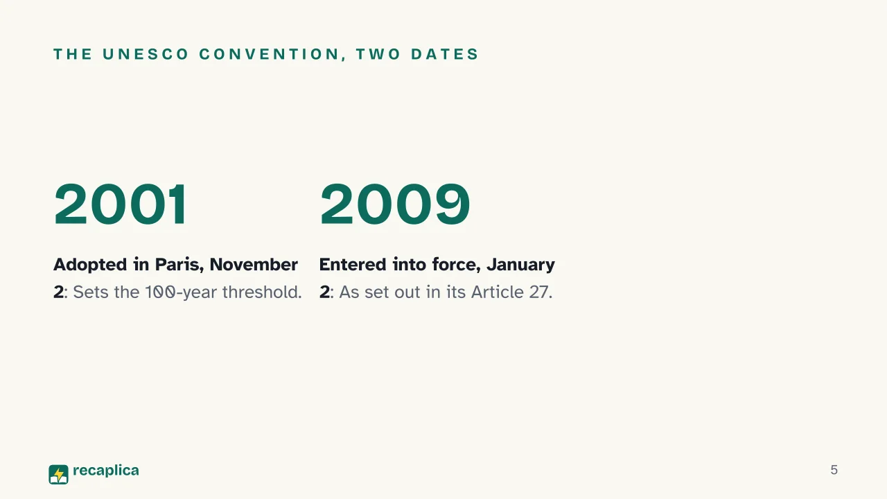  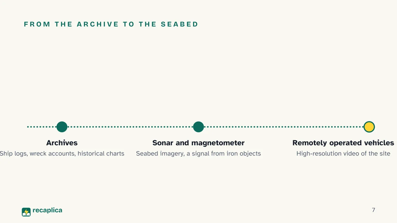  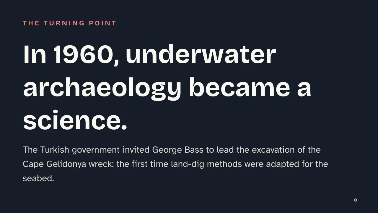 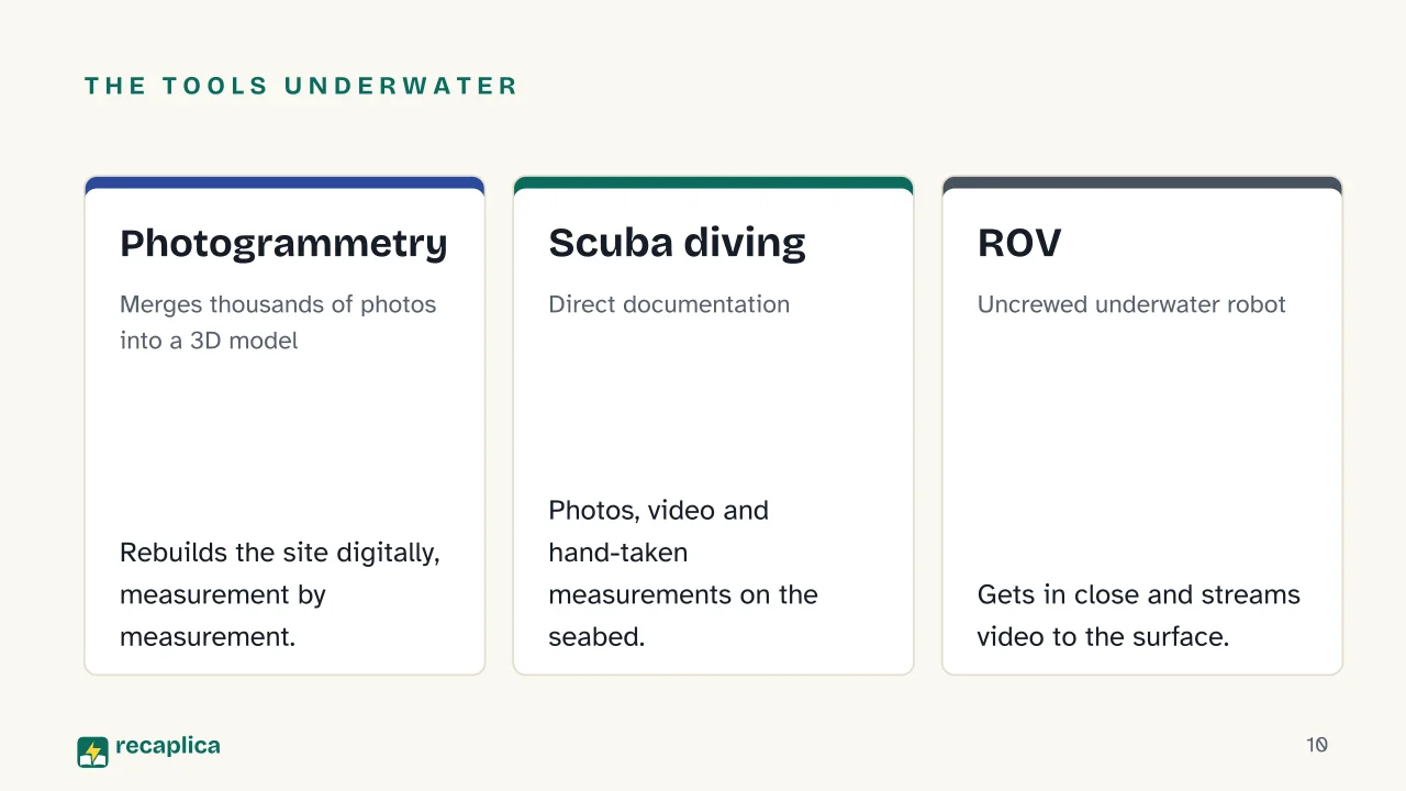  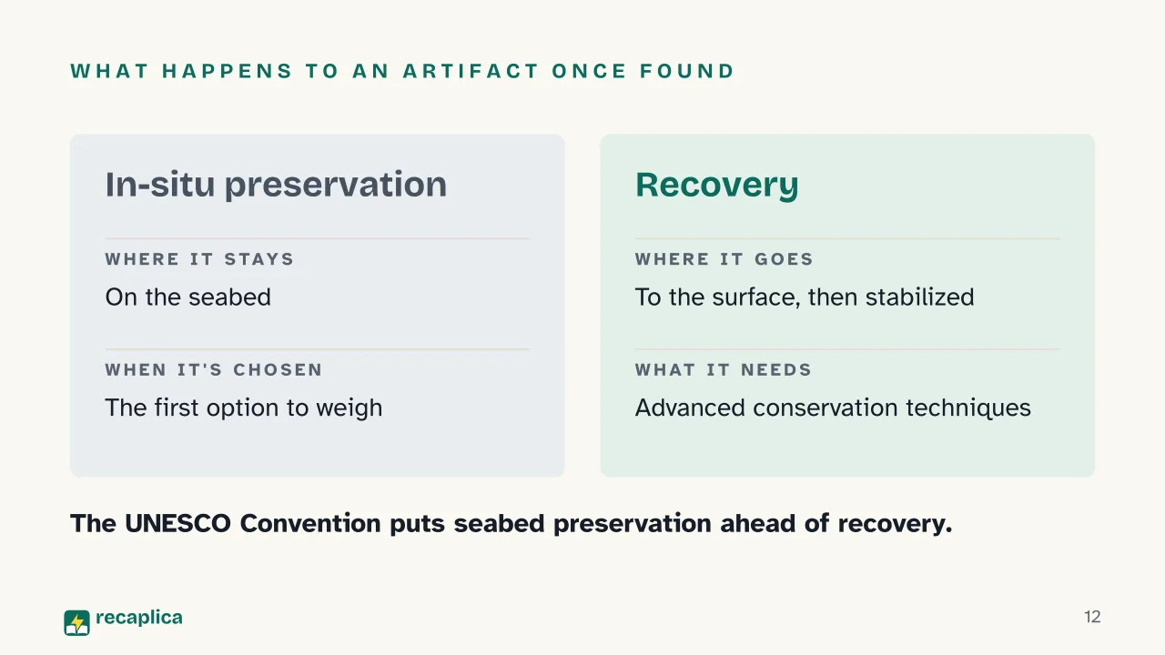 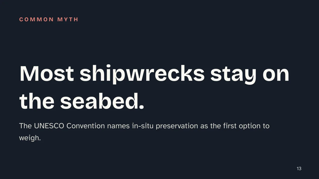 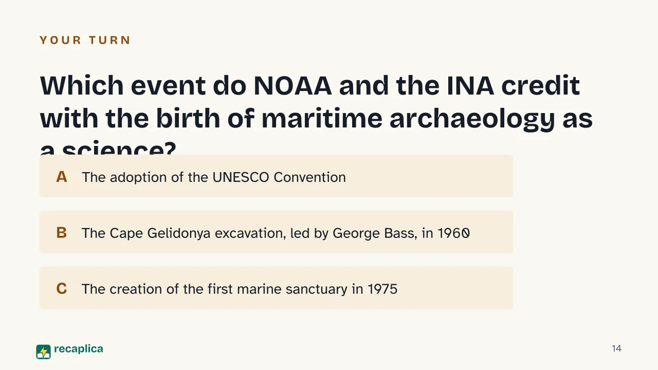  Common myths
Mind mapDrag the background to move around and the nodes to reposition them; use − and + to collapse and expand branches. 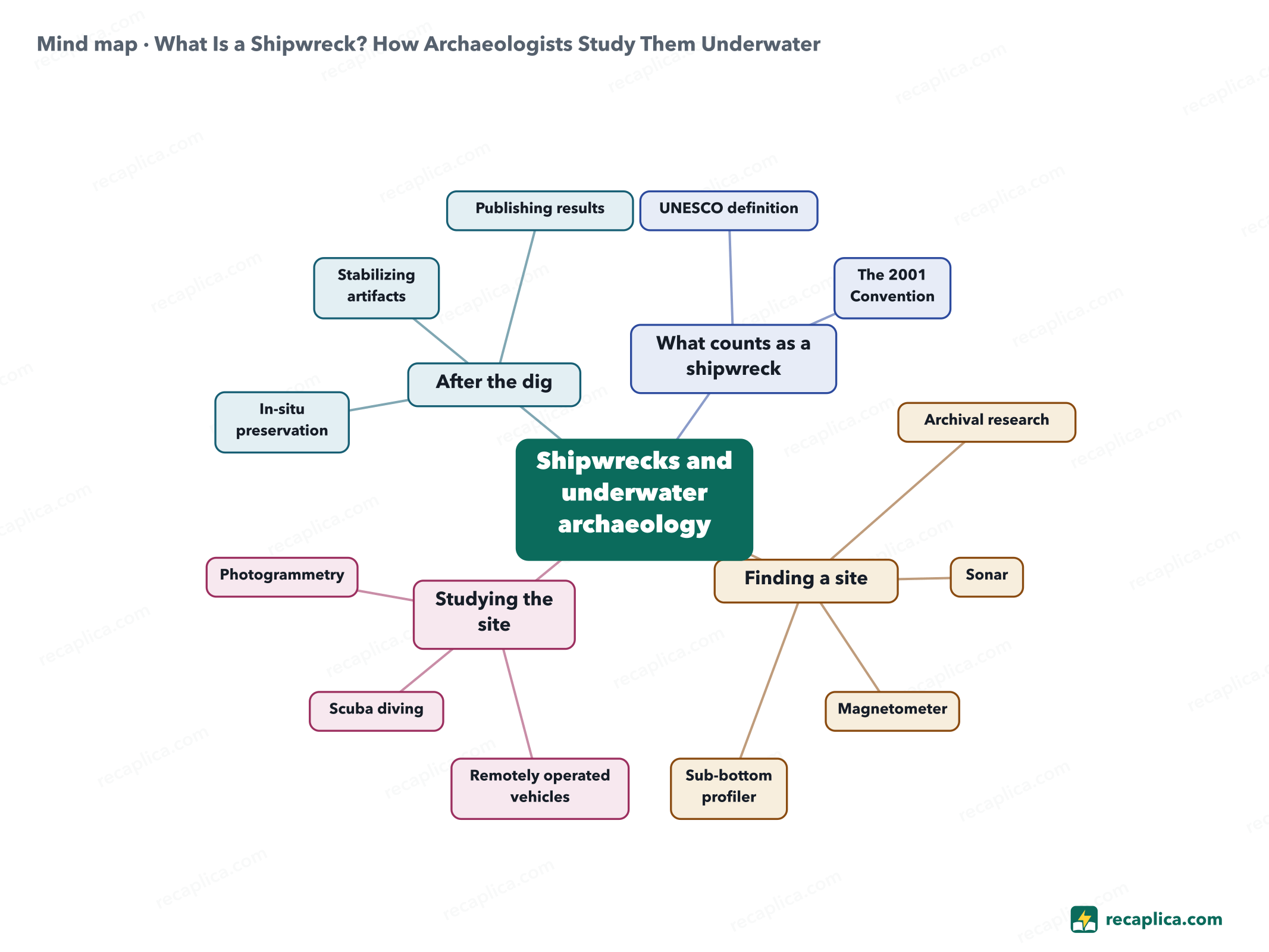
Quiz: test yourselfAnswer the questions to check what you have learned: you get instant feedback and a short explanation. Grade 0/10 0/5
FlashcardsTap the card to flip it and check whether you remember the answer, then move to the next one. 1 / 8 Explain it in your own wordsThe ultimate test: if you can explain it in simple words, you've truly understood it. Write your explanation, then compare it with the Recap. Your explanation is saved only on this device.
Frequently asked questionsWhat exactly is a shipwreck?What's left on the seabed after a vessel sinks. The term underwater cultural heritage applies once the 2001 UNESCO Convention recognizes it as such, after at least 100 years on the seabed. How do archaeologists find a shipwreck before even diving?Often the first clue is on paper, not in the water: a ship's log, a wreck account, an old chart. Then sonar, magnetometers and, where seeing under the sediment matters, a sub-bottom profiler narrow down the exact spot. Who is allowed to recover artifacts from a shipwreck?Not whoever finds it first. The Convention rules out trading and speculating on recognized sites: member states manage them for everyone's benefit, not for a single finder. What's the difference between a wreck and a sinking?A sinking is the event, the ship going down; a shipwreck is what remains on the seabed afterward, the object maritime archaeologists study. Since when has maritime archaeology existed as a scientific discipline?According to NOAA and the Institute of Nautical Archaeology, since 1960, with the Cape Gelidonya excavation led by George Bass at the invitation of the Turkish government. Every Recap goes through an independent review before publication. |